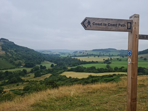
Walking from one side of the country to the other has a very satisfying feel to it. To go from dipping your boots in one ocean, then walking for a while, and dipping them in a different ocean has a ‘completeness’ to it that is not fulfilled by simply travelling from point A to point B (but even that is better than simply travelling in a circle or an entirely rubbish ‘out and back’).
But I digress. Michael and I had walked the length of Hadrian’s wall (also a coast to coast route) in May 2025, a distance of about 100 miles in 5 days. Camping and carrying the required kit meant it felt harder than it probably was, but the weather was decent and we had a good time (and were pleased to finish in one piece).
Fast forward to July 2026, and we had been planning on doing this alternative Coast to Coast route (the classic Wainwright route) for a few months – 200 miles of hiking, across about 12 days – taking in 3 national parks, and beginning with a challenging 4 days across the Lake District. The route is well established, and there are generally decent camp sites at appropriate intervals, so apart from the fact that there would be an alarming lack of shops (for a southerner) to stock up at, it felt like an easy option of a couple of weeks spent outside.
So Friday saw me collect Michael from his work at lunchtime and the long trek to Kirkby Stephen, which is about mid point on the walk. We would spend the night there before getting a lift across to the start in St Bees on Saturday morning, and then we had arranged for a lift back to Kirkby Stephen at our approximate finish date (13 days into the future). What should have been a simple 6 hour drive north turned into a bit of an odyssey, with Friday afternoon traffic and a 2-hour stretch spent stationary on the motorway for an accident to be dealt with, so in the end we didn’t arrive at our accommodation until 8pm. This wouldn’t have been such an issue if every pub and chippy in the area didn’t stop serving food at 8pm…The limited serving times of most pubs turned into a bit of a recurring problem for the next fortnight. Undeterred, however, we visited the local convenience store and stocked up on healthy and nutritious pasties and Pringles for our evening meal.
Eating these in the room, while ruthlessly removing whatever wasn’t deemed vital from our packs to keep the weight down, saw a small pile of excess kit in the corner grow until we were satisfied that pack-weight and the corresponding shoulder-ache would not be too much an issue.
Restless sleep in the too-hot room did not set us up well for the long day that followed, but at 7am we were sitting outside in the deserted street waiting for 8am when the minibus would take us to St Bees on the west coast. The weather forecast for the next few days looked incredibly hot, but cooler after that, thankfully.
Steve, our driver, was your typical chatty northerner when we met him. Within a very short space of time we knew his life story, including how he had sourced a long wooden slab for the bar surface of a pub he used to run in a nearby village, and the spectacular achievements of Alexander the Great, who he was listening to an audio book about on his long drives.
All too soon, the other passengers appeared and we set off, exchanging a few details about ourselves amongst the small talk. There was a mother & 11-year-old, doing a long trek for the first time (but using B&B’s for accommodation and having their baggage transported ahead each day), an older couple (perhaps 65-70?) who were doing the route with a group of about 12 and a walk-leader.
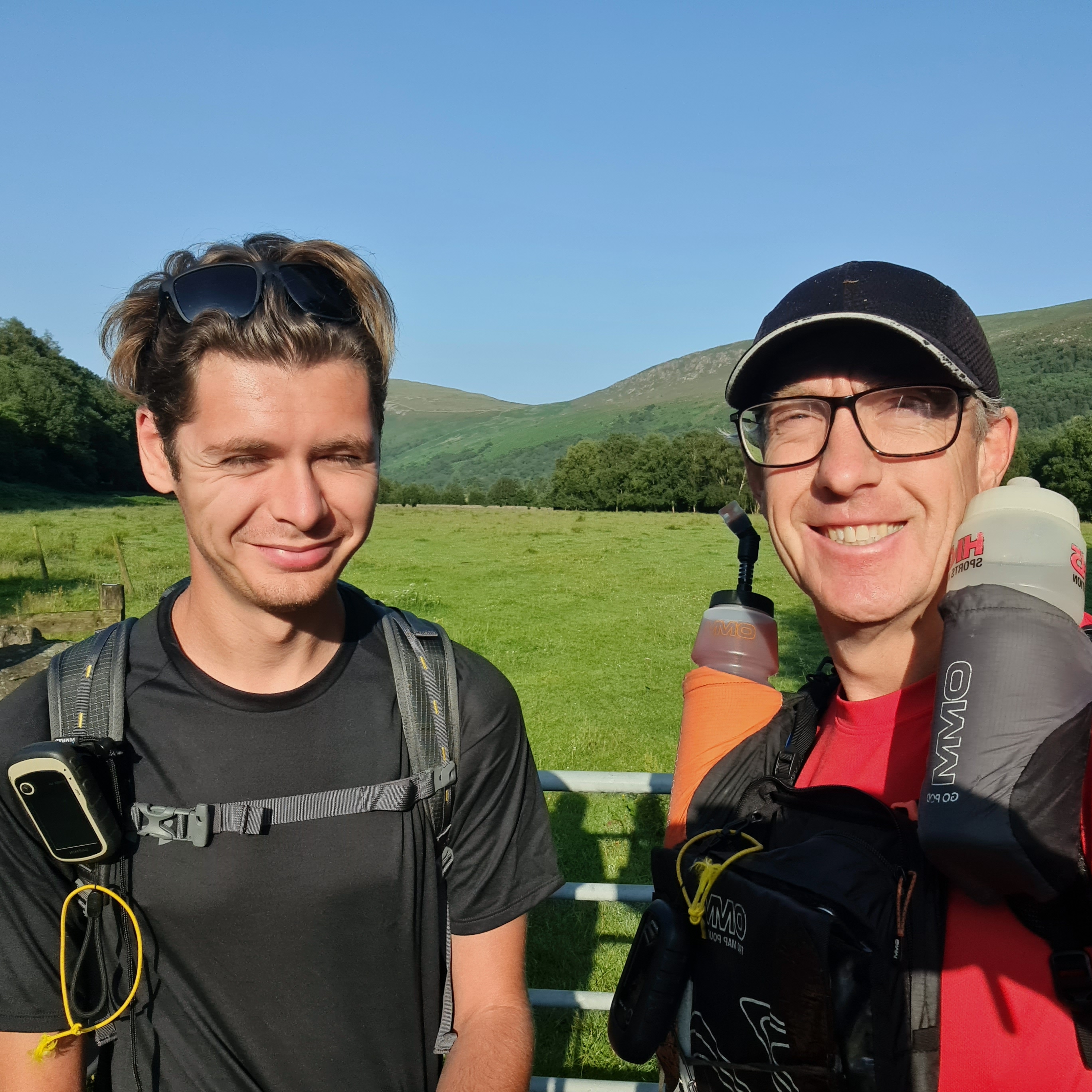
And Michael and I, an energetic 26 year-old with his dad, a previously-quite-fit 55 year-old who should know better than to try to keep up with his son…but doesn’t listen to reason. It was surprising that such a variety of ages (& experiences) were setting off for the same walk, but goes to show how popular and adaptable the walk is.
At 10.00am on the dot, we arrived at St Bees lifeboat station, and all collected our baggage from the rear of the bus. Michael and I had the largest rucksacks, as expected, but considering we would be living out of them for the foreseeable future (plus whatever we could scavenge from shops & pubs) I think we did well to keep their weight down to about 9-10kg each – heavy but not impossible.
After a bit of faffing to ensure we were ready, Michael and I headed off to the edge of the sea, stopping for the customary picture at the ‘Start of the Coast to Coast walk’ sign, and then went down to dip our boots in the sea. It was surprisingly busy at the beach, but most of the sunbathers and paddlers did not turn to stare at us – I suppose it was a regular occurrence at the start.
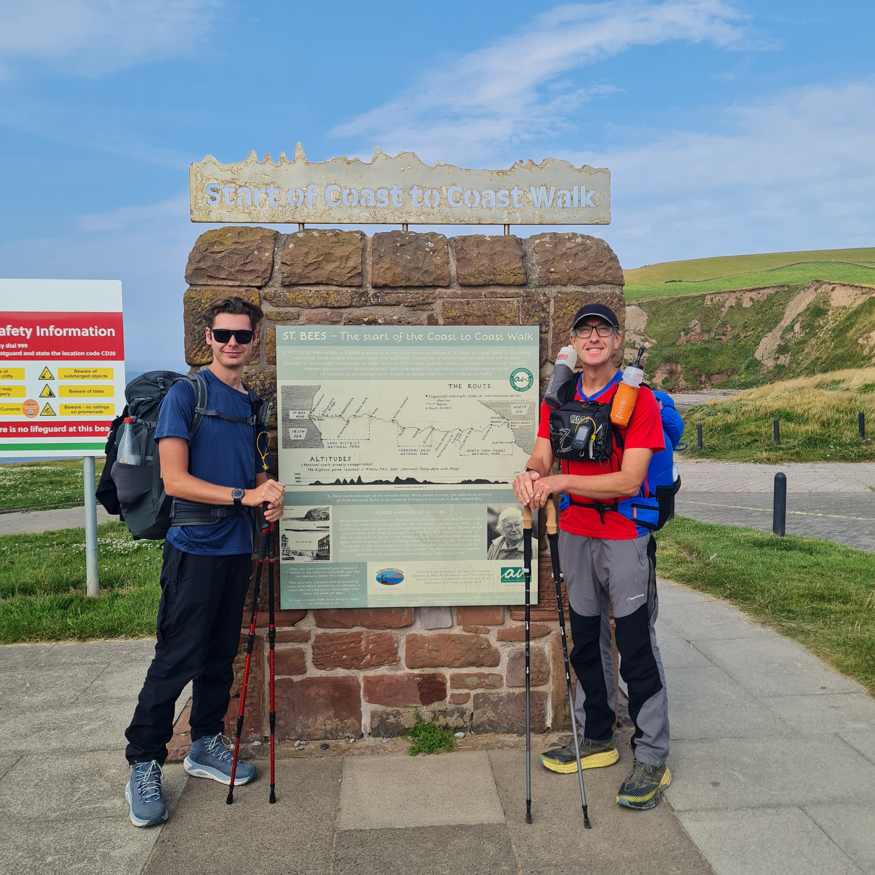
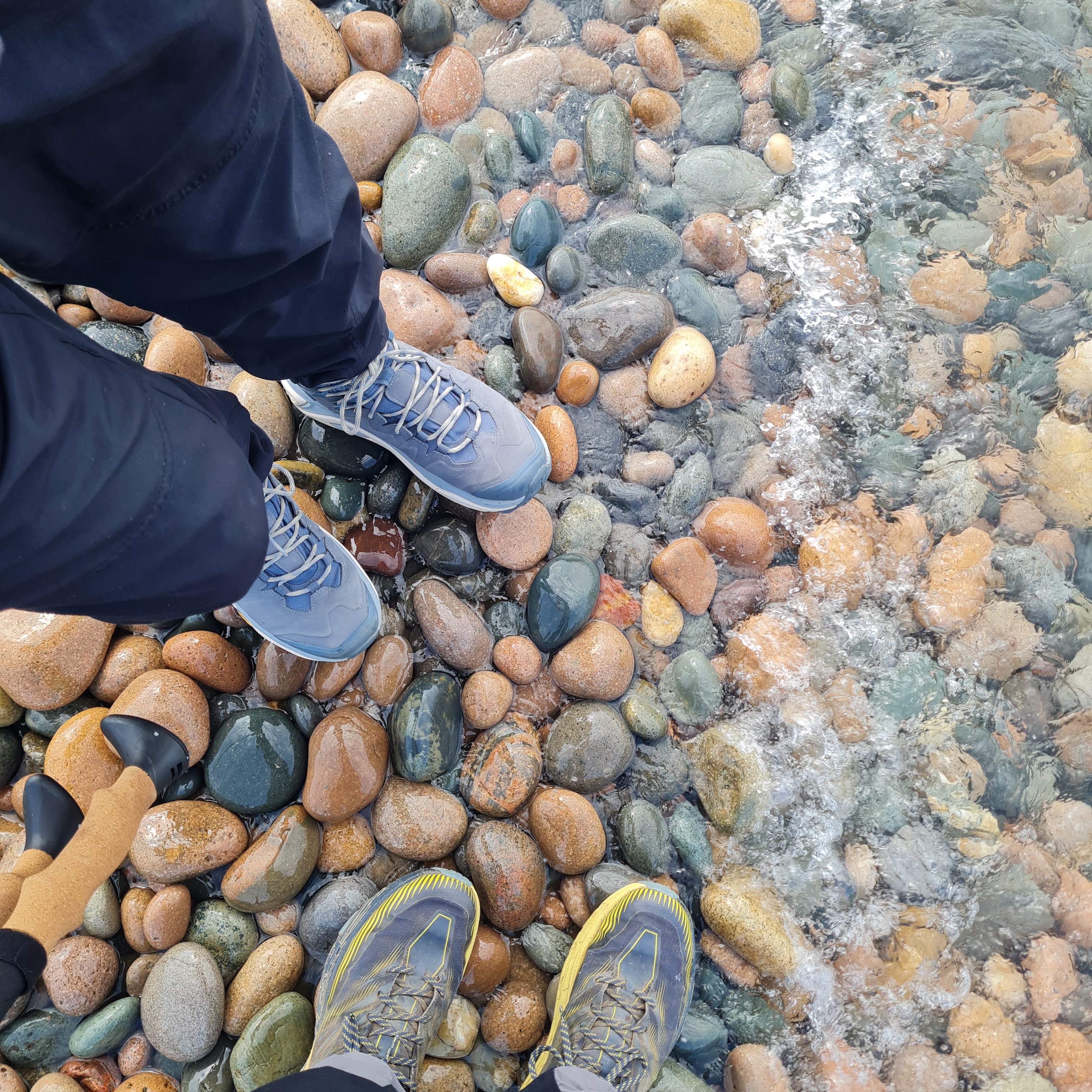
And then we were off! Except that there was a small diversion due to eroding cliff edge for the first mile, so we predictably went the wrong way and ended up turning round and retracing our steps back to the beginning – whoops!
For the second time, we were off!! And this time followed a clearly signposted diversion (how did we miss it first time?) for a couple of miles to re-join the route. Both Michael and I have small GPS devices (Garmin Etrex 32 if you are interested) that gives us a pink line on a map to follow…smaller than a phone screen but still very clear and easy to use. We’ve both used them enough to be quite familiar with them, and although we had paper maps and compass just in case, we did not plan to divert from the given route on the GPS screen.
Although we both had the capacity to carry 1.5-2 litres of water each, we were very conscious that with the expected heat in the afternoon (over 26 degrees) we should keep drinking and our water topped up. Hence, after a couple of hours, we arrived in Cleator and planned to refill our bottles, only to find the town consisted of a few streets of houses, but no shops, no pubs, no available water that we could find. This wasn’t really an issue, as we still had a decent amount of water on us, but we felt it sensible to ask a bloke painting his house if he could fill us up…and not only did he fill us up, but put ice cubes in the bottles too! Magic! We headed off round the corner to sit & eat, while revelling in some cold water under the midday sun.
After Cleator we had a big climb through some thankfully shaded woods, and then a long zigzag down through the forest. The sun was beating down and we were happy to arrive at the Fox and Hounds pub at 2pm, after only 4 hours of walking and 12 miles of progress. It was supposed to be nearer 14 miles but the diversion turned out to be considerably shorter than the original route.
Our original plan had been to stop and camp here (the pub allowed campers to stay on a small patch of grass adjacent to their pub garden) but after a couple of pints of Pepsi & huge fish and chips, we decided to move on and see if we could get further up the route as we felt good and had not really had to work too hard so far that day.
We stocked up with large sausage rolls from a cafe next door (for dinner), and left about 3.30pm…peak times for temperature. We headed to walk the length of Ennerdale water, our first patch of water of the lake district, which turned out to be about 4 miles long on a shaded but uneven path along the length. About halfway, struggling a bit in the heat, we stopped and washed off as much salt as possible, trying to prevent the inevitable friction of soggy t-shirts on tender shoulders where the straps of our heavy packs would rub. Although the water looked tempting for a swim, common sense prevailed that a cut foot or similar would be a show-stopper at this early stage.

At the end of the lake, we saw a lone tent camped by the water and thought about joining it, but carried on to our target campsite at Lower Gillerthwaite a little further on. It was an activity centre that was well placed for school trips or scouts to access the water and surrounding hills easily.
As we arrived, there was a much-welcome few spots of rain that cooled us in heat, and as there seemed to be no one present at the farmhouse attached to the small patch of grass that was the campsite, we ducked inside a barn to wait out the rain before setting up our tents.
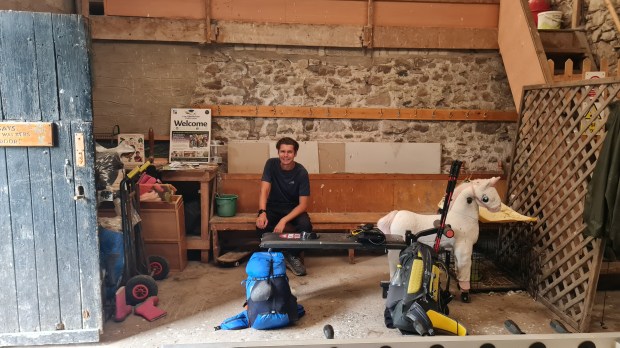
No sooner had we sat down on a old pew, but the heavens opened to a downpour that would have made Noah nervous. We sat for 2 hours waiting for the rain to stop, wondering what we would have done if stuck out in the open during rain like this – not unusual for the Lake District, but unexpectedly strong after a day of strong sun and high temperatures – and watching the water stream across the farmyard outside the barn door.
Happily, the rain eventually stopped and we ventured outside to see whether the patch of grass where we intended to camp was waterlogged (thankfully not). The owner appeared from the house, coming out to restart her generator that had stopped in the rain, and offered us the use of one of the bunkhouses inside rather than camping, plus the use of the attached kitchen and WIFI. Wow, what a stroke of luck!
So an hour later, we were drinking cup-a-soup with sausage rolls from the cafe, and making good use of the WIFI for an hour. England were playing Mexico in the world cup that evening and there was much excitement about whether we may scrape though but no excitement from Michael & I – we were showered and safely tucked up in sleeping bags by 9.
Day 2 – Lower Gillerthwaite to Grasmere.
After a surprisingly decent night’s sleep, we were up at 6 and breakfasting on tonnes of toast (kindly donated by the activity centre) and coffee. On the road by 7, we quickly caught up an Ed Sheeran lookalike that we would see a few times over the next week. He was the wild camper we saw at the head of the lake the previous night, and was doing coast to coast by himself, with a very loose schedule of having a very rough idea of where he wanted to get to each evening. We chatted for a bit before coming to Black Sail Hut, possibly the most remote youth hostel in the lakes. Michael and I had visited it in 2016 when we spent a few days walking and camping, so it was great to return to it and see it had not changed at all. We didn’t stay long; it simply was not the tranquil hut I remembered from 10 years ago due to quite a number of guys that had clearly stayed there the previous night making a racket.
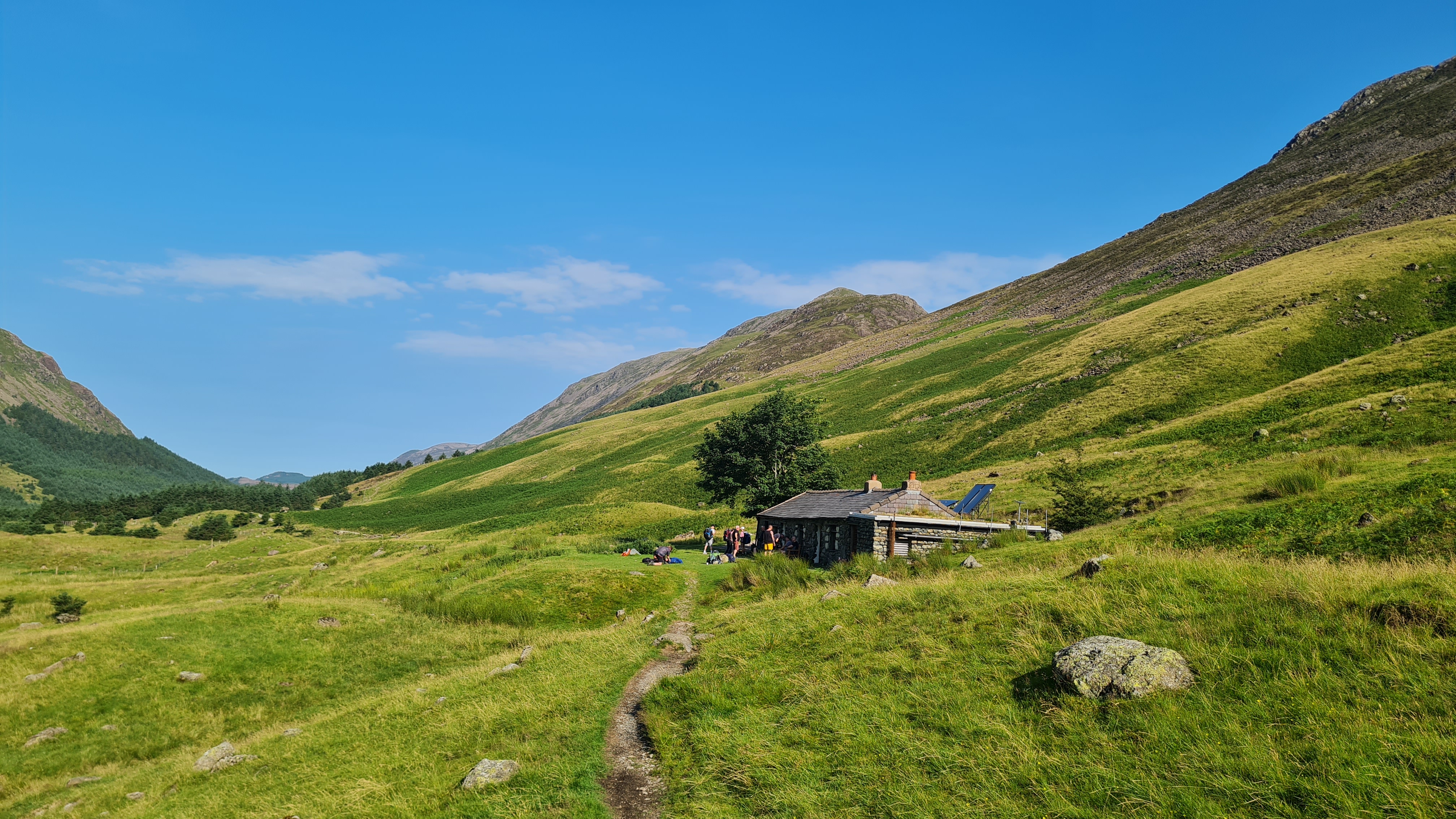
And even worse, the path away from Black Sail Hut took us on our first proper climb of the Lakes, up to Honnister Pass. The climb was long and hot, but gave some incredible views at the top – our first proper mountainous views of the walk. Coming from the south and even worse, from the flattest part of flat Kent, the views were absolutely stunning – definitely worth a big climb.
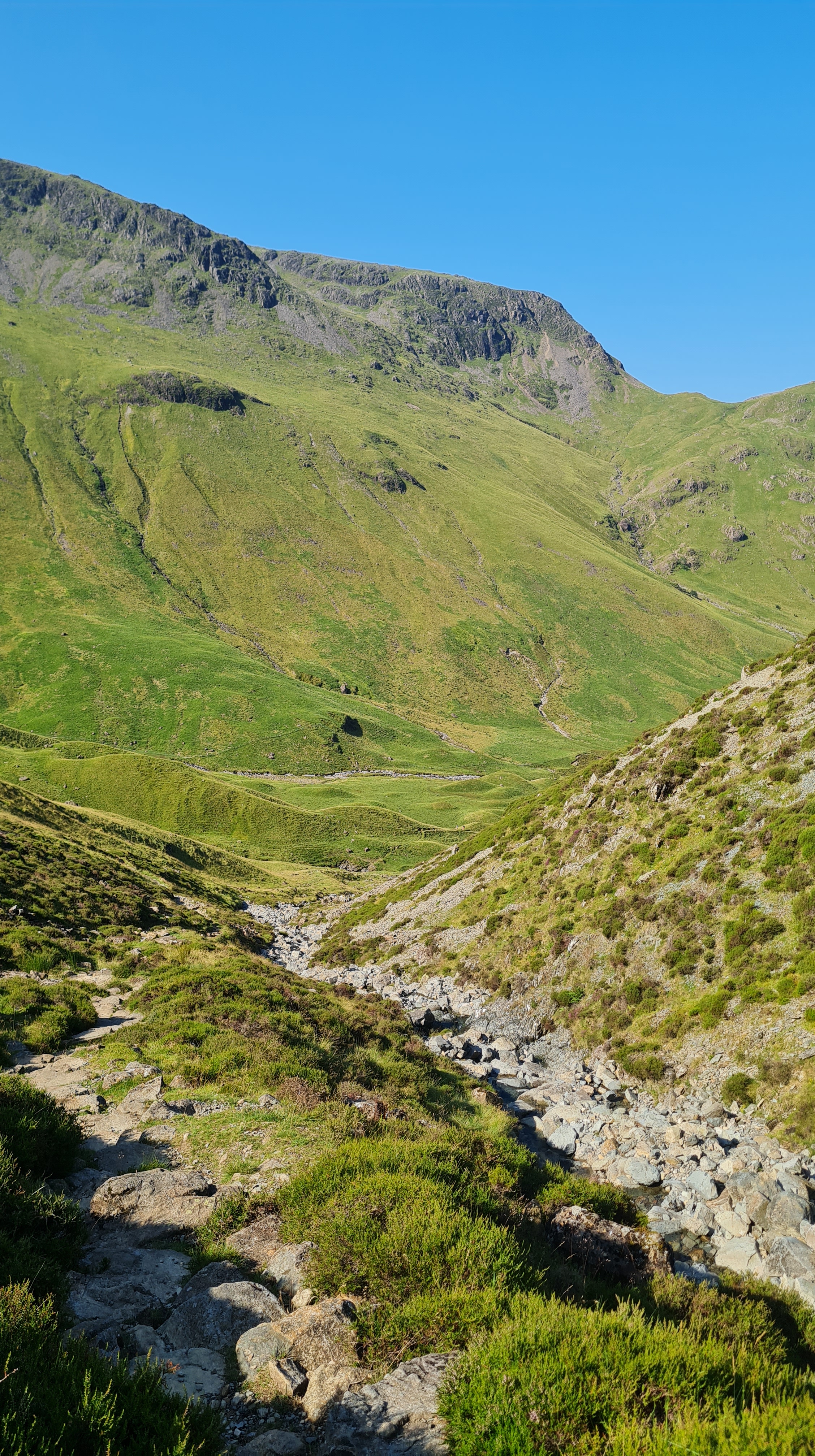
On the far side we stopped at the cafe by the slate mine, and then pushed on to Borrowdale. Actually we hit Seatoller first at noon, which we thought was Borrowdale arriving unexpectedly quickly, but after standing outside the Yew Inn indecisively for a few minutes, we carried on to arrive in the tea room at Borrowdale by about 12.30, having travelled only 11 miles but on some big climbs.
The tea room was a being run by 2 ladies who were clearly well used to tired walkers coming in. They sorted us out with cold cans of drink and sandwiches, while we sat in the shade enjoying the view.
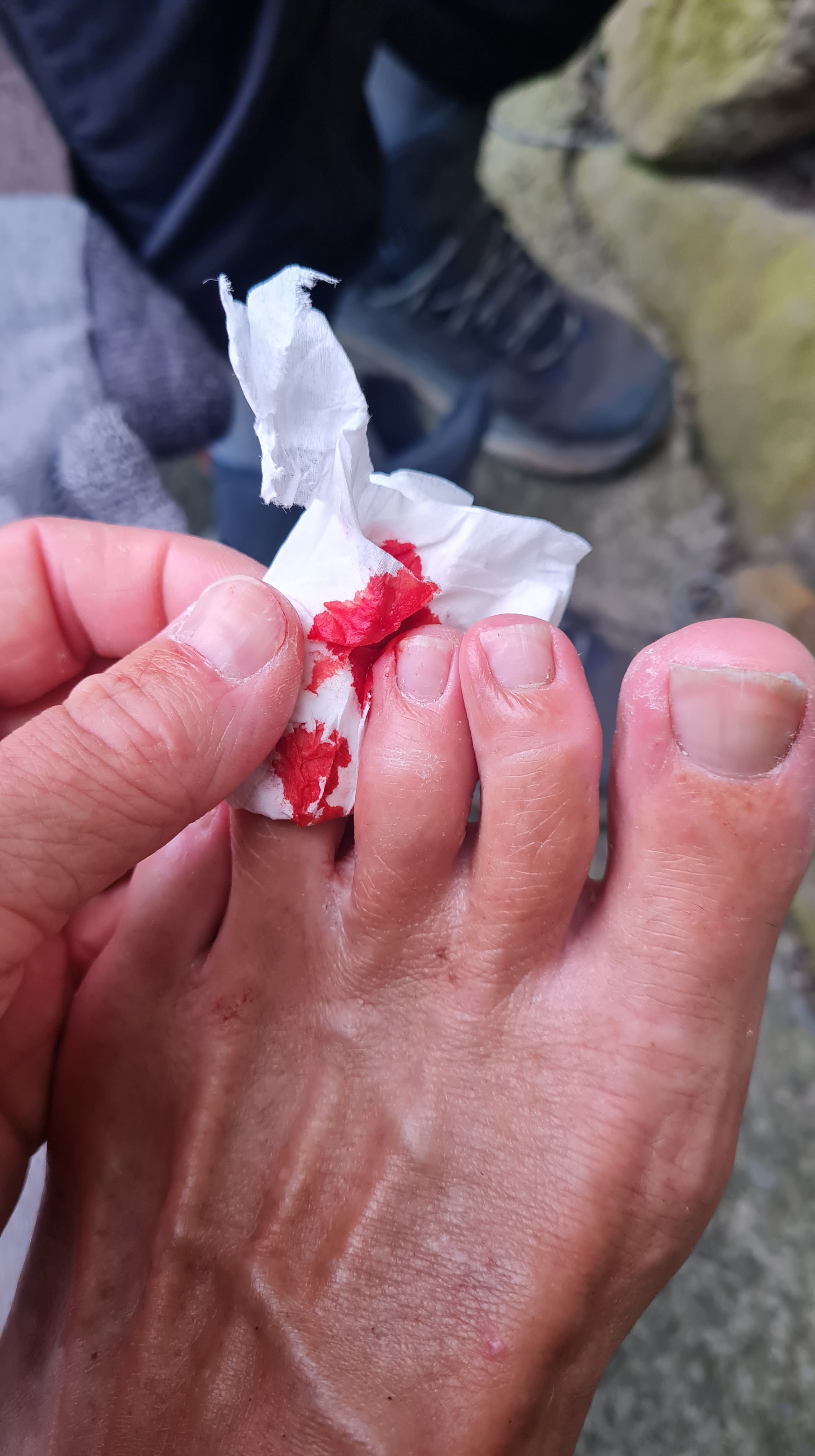
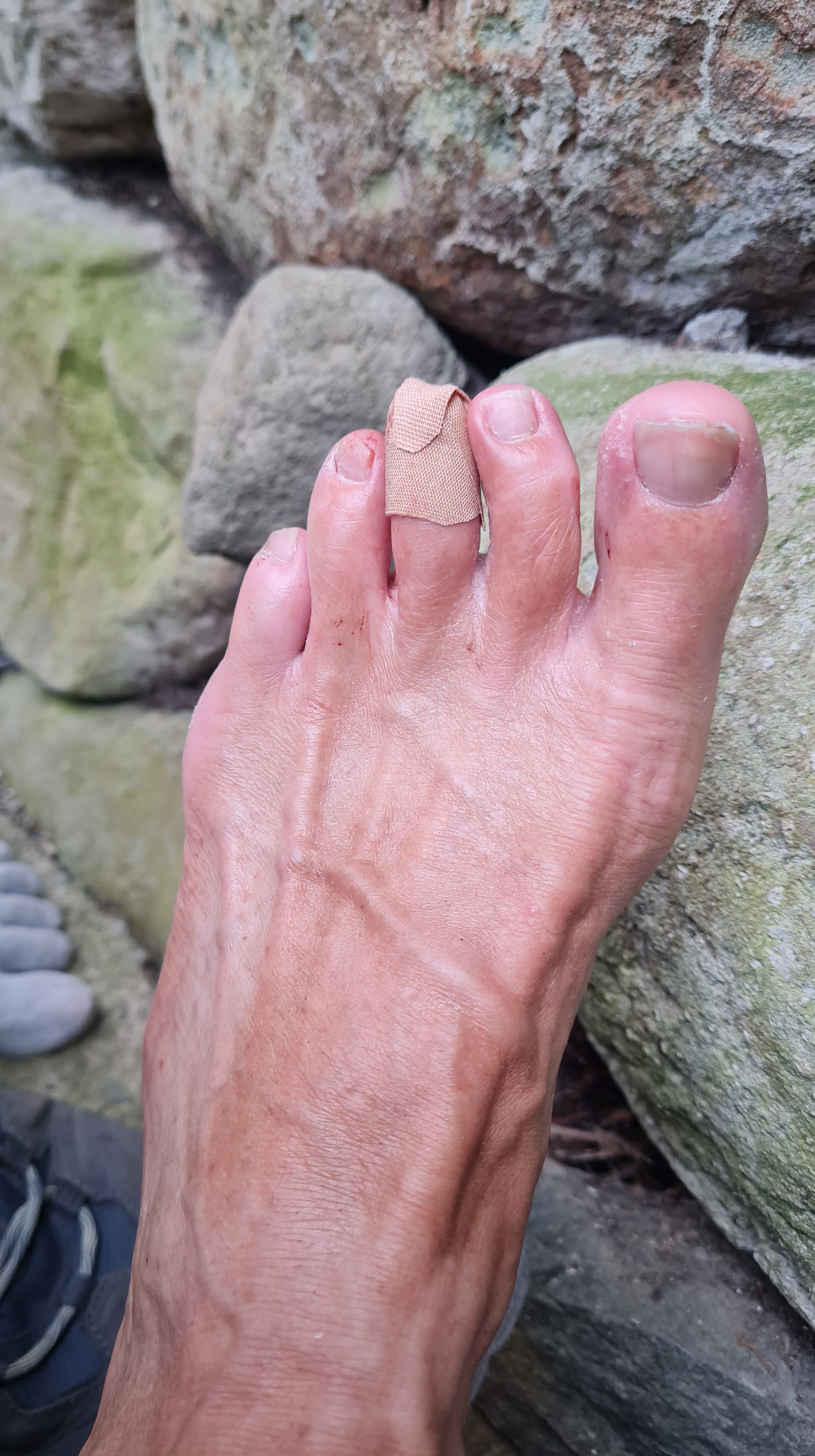
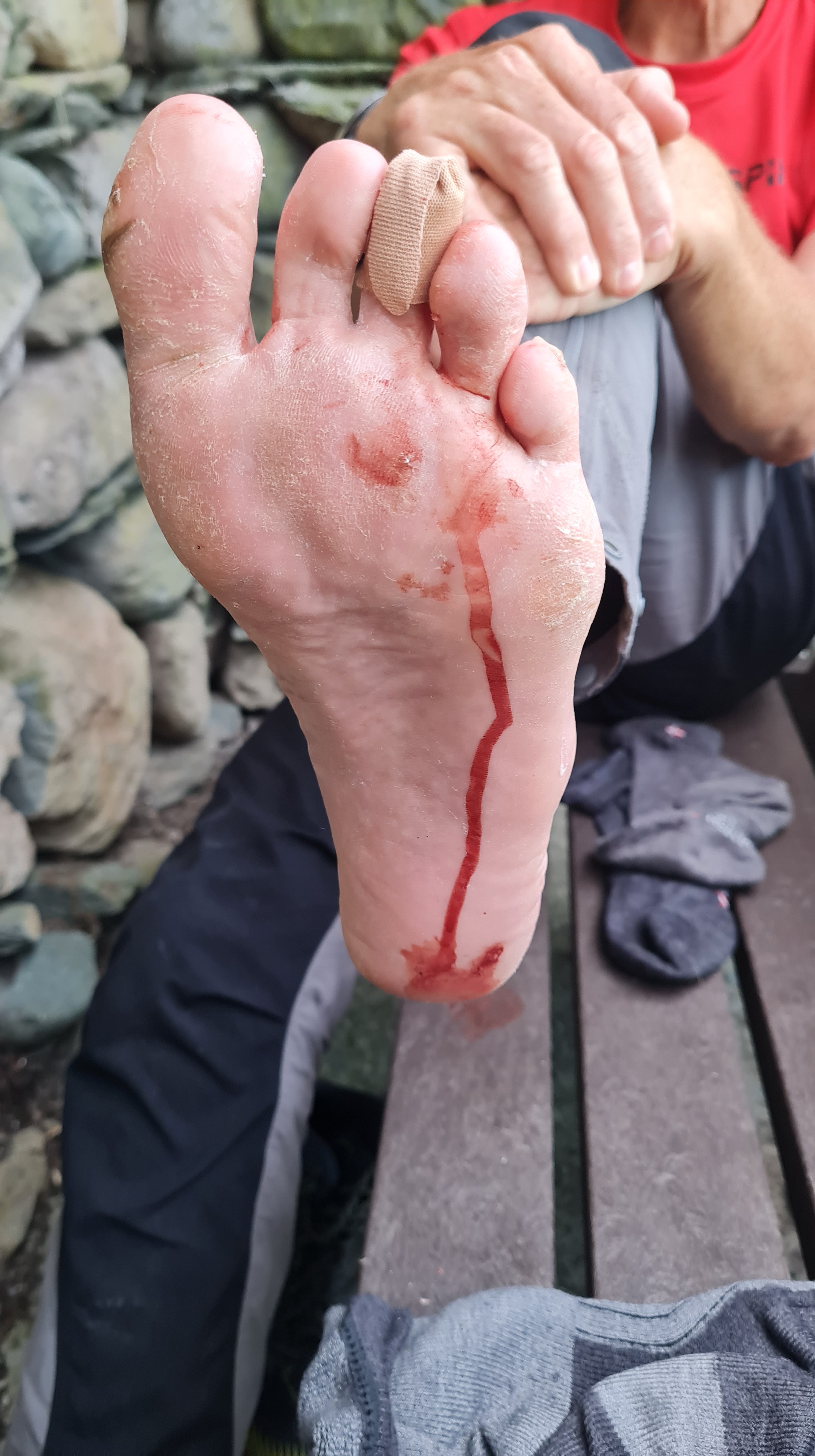
I had my shoes off to ‘air’ my feet out a bit (they tend to get a bit sweaty after a few hours) and took the opportunity to give my feet a quick inspection for anything that looked like a blister or rough patch (don’t worry, we were well hidden from the other people in the cafe!). Finding a bit of sharp toenail, that was snagging on my socks, I got rid of it with a quick snip, but somehow managed to cut my toe in the process, which then proceeded to produce a never-ending amount of blood from a tiny cut that must have had an artery embedded nearby. After 20 minutes of copious bleeding, trips to get toilet paper to mop up the gushing blood, I gave up waiting and put a plaster on it held in place with some foot tape and 2 pairs of socks, fully expecting to be sloshing around in blood once my shoe was back on (which did not materialise happily).
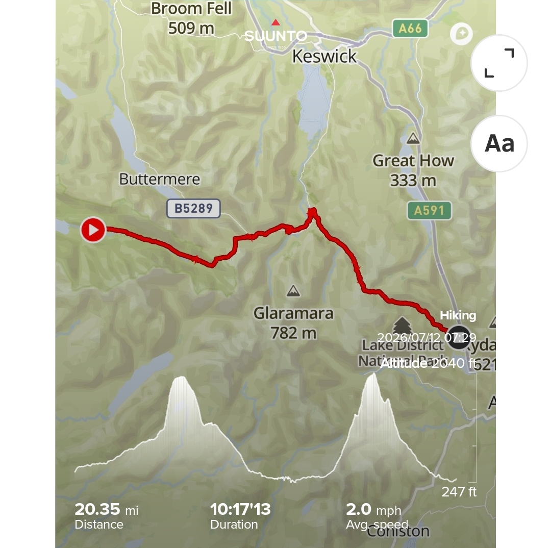
Although we had covered 11 miles so far that day, we were discussing whether to push on for another 10, in order to get to Grasmere (rather than stay in Borrowdale for the night) as this would get us to a youth hostel in Grasmere to camp and also allow us to do one of tomorrows big climbs in the afternoon that day. Again, like the previous day, we were feeling good and decided to push on through the 28 degree heat (perhaps unwisely).
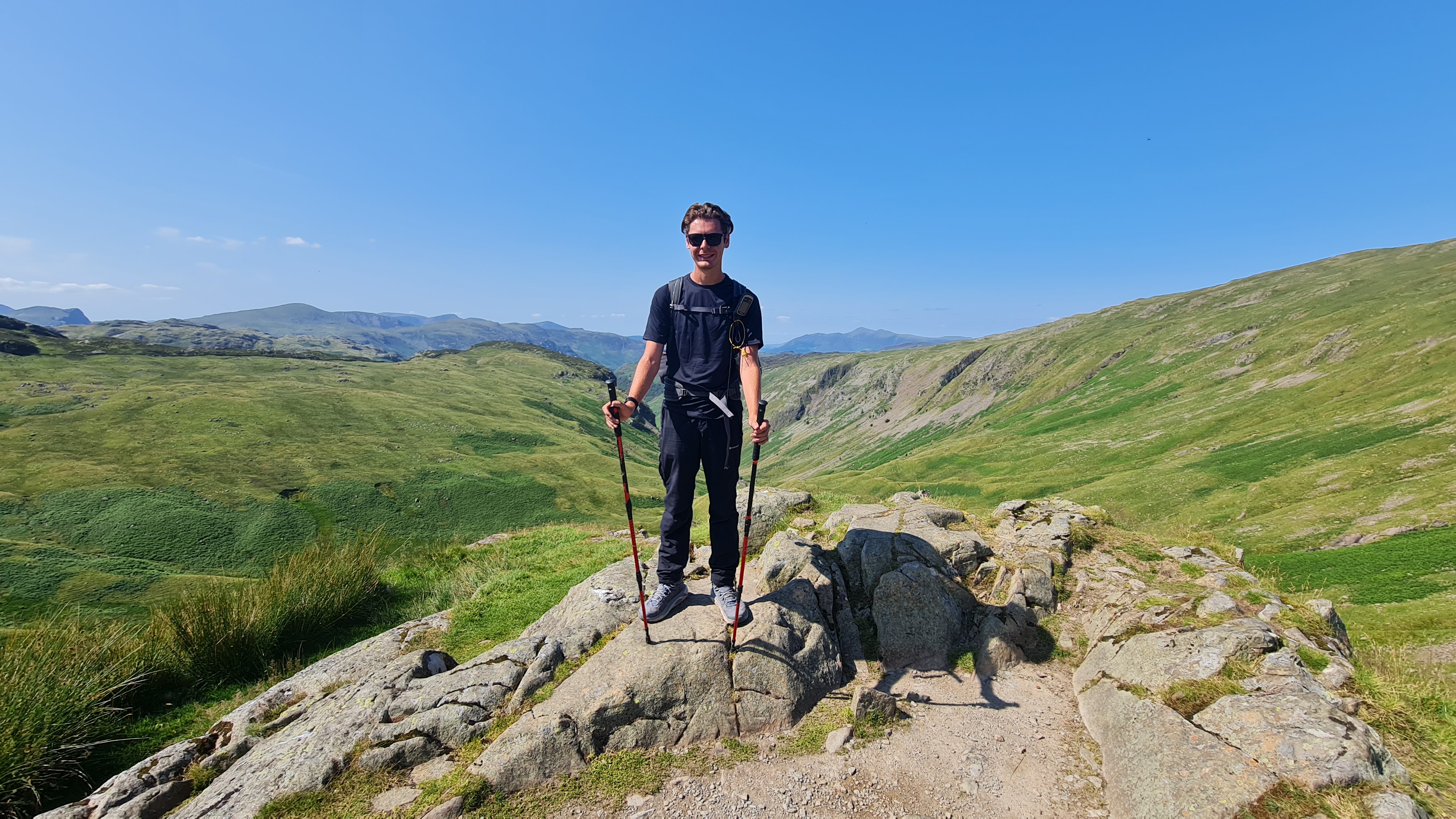
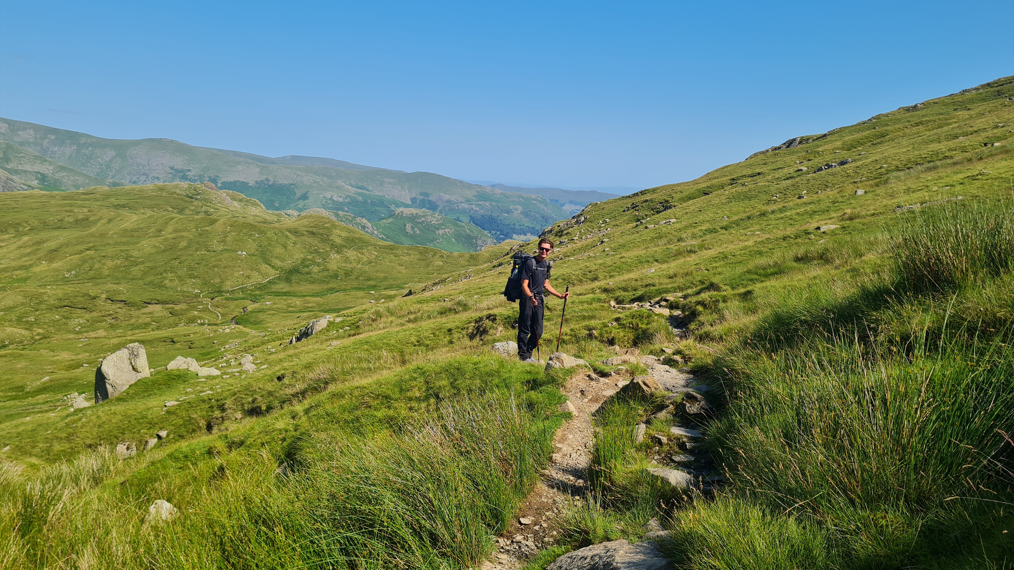
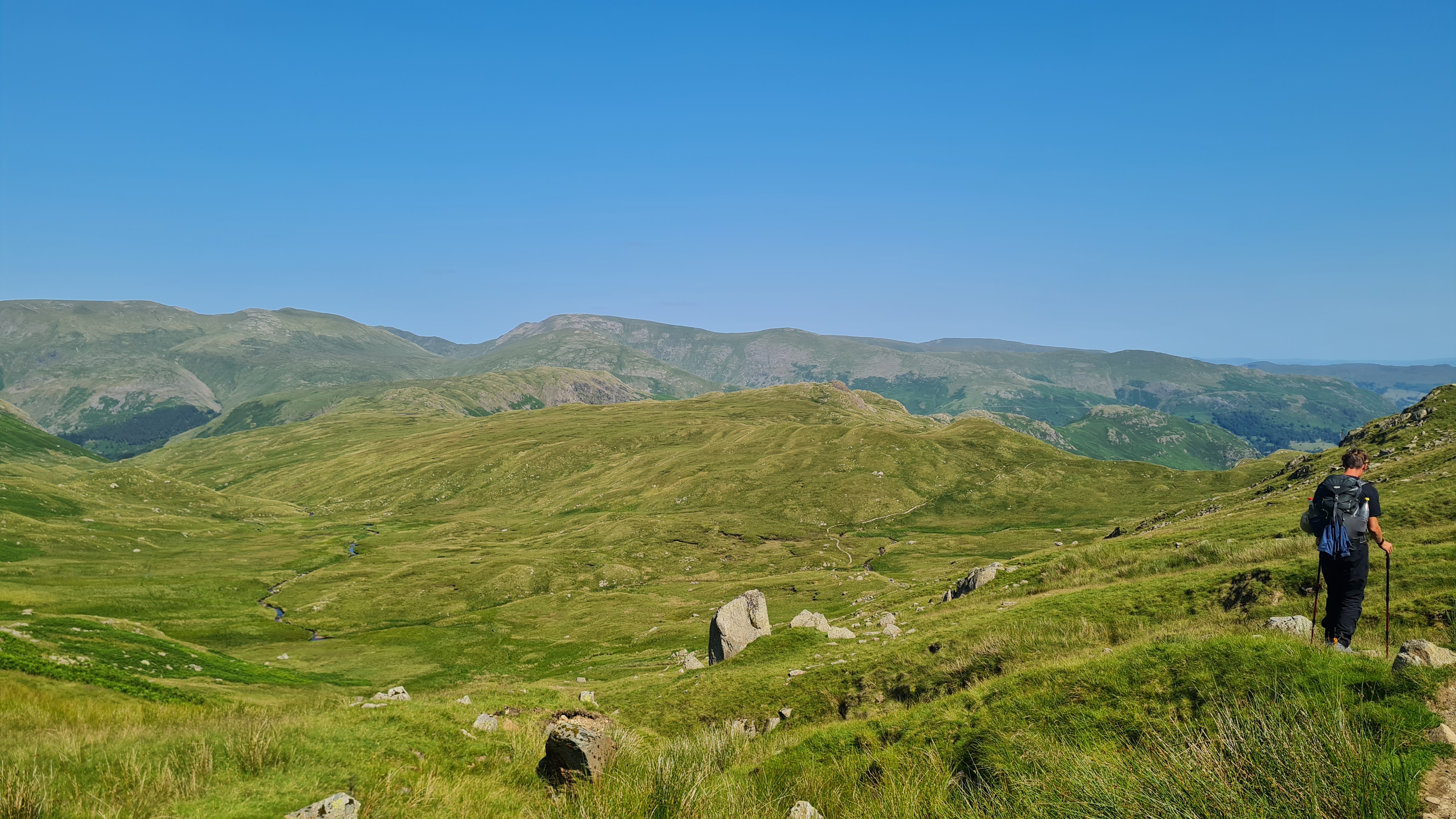
We carried on through some fabulous scenery and were approaching the end of the valley where the big climb up Lining Crag clearly was, but neither of us could see a route up what appeared to be a vertical cliff face up ahead (ok, perhaps a small exaggeration here). We could see someone up ahead in the distance, who we thought may be Ed from earlier that day, but he disappeared off to camp somewhere before we caught up with him.
In the end, the climb was a snaking path climbing up well-placed rocks that were hard work in the heat but ultimately fairly easy to climb. Our t-shirts were soaked by the time we reached the top, but the cool breeze we encountered more than made up for it.
After the climb it was a fairly long descent to Grasmere, but once there we pitched tents at the youth hostel and got some much needed dinner of pizza and burger! We were looking forward to a shorter day tomorrow to make up for the 20 mile day & big climbs in the heat.
Day 3
Grasmere to Patterdale….
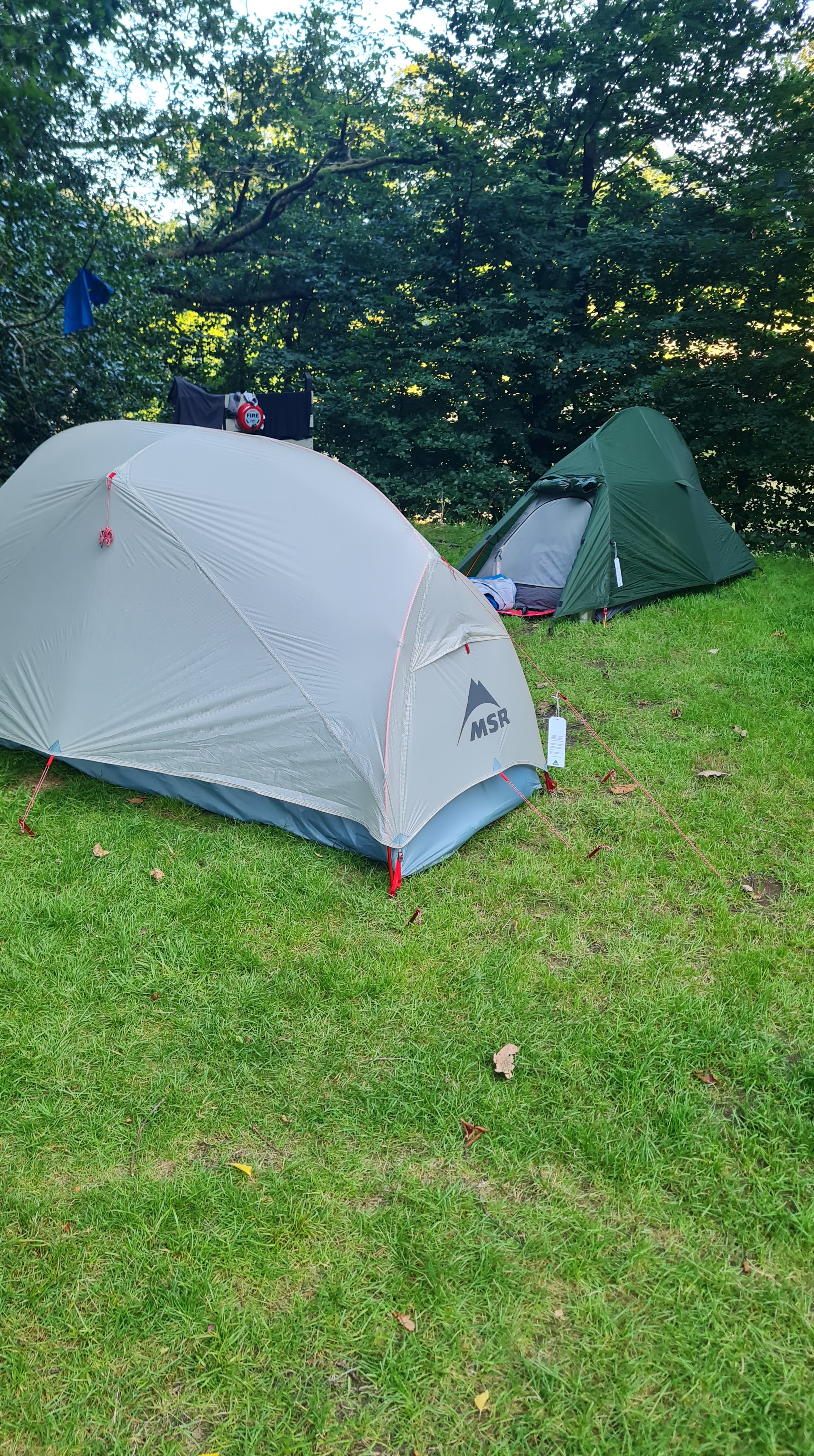
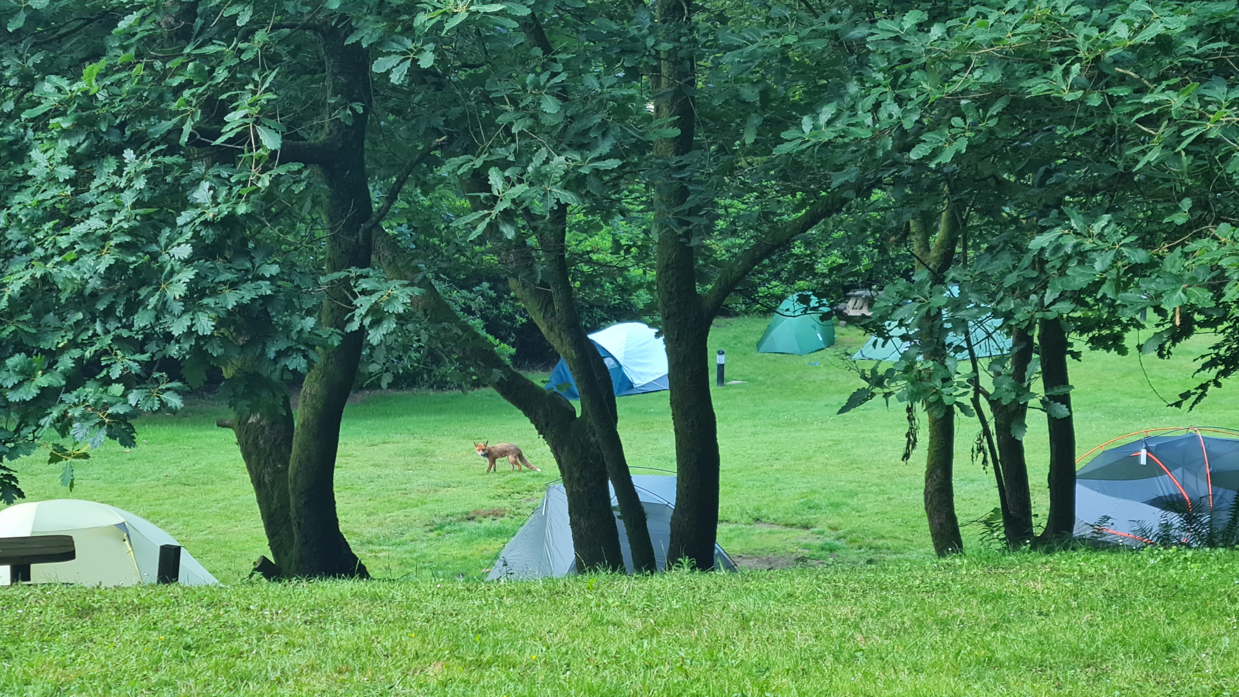
We were up early, and had some breakfast and packed up by 6am (seeing a fox amongst the tents on our way out!). We had decided the previous evening to push through the morning, with the aim of getting to Patterdale by lunchtime, allowing us to have both a proper lunch and dinner there, as well as resting at the campsite for the afternoon, rather than climbing massive mountains in the heat of the afternoon! In fact this worked so well we tried to start early most of the remaining days, and rest in the afternoon.
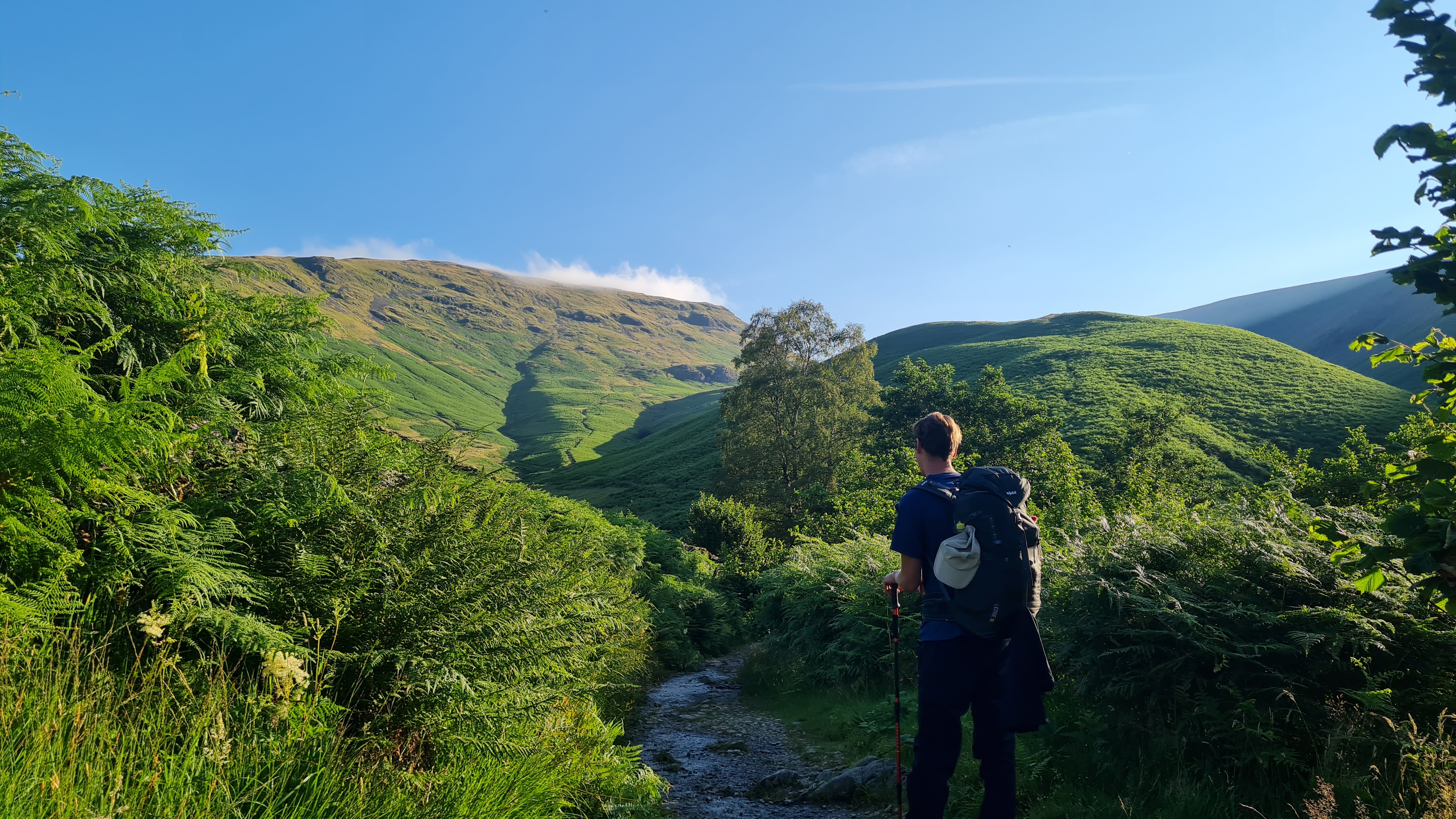
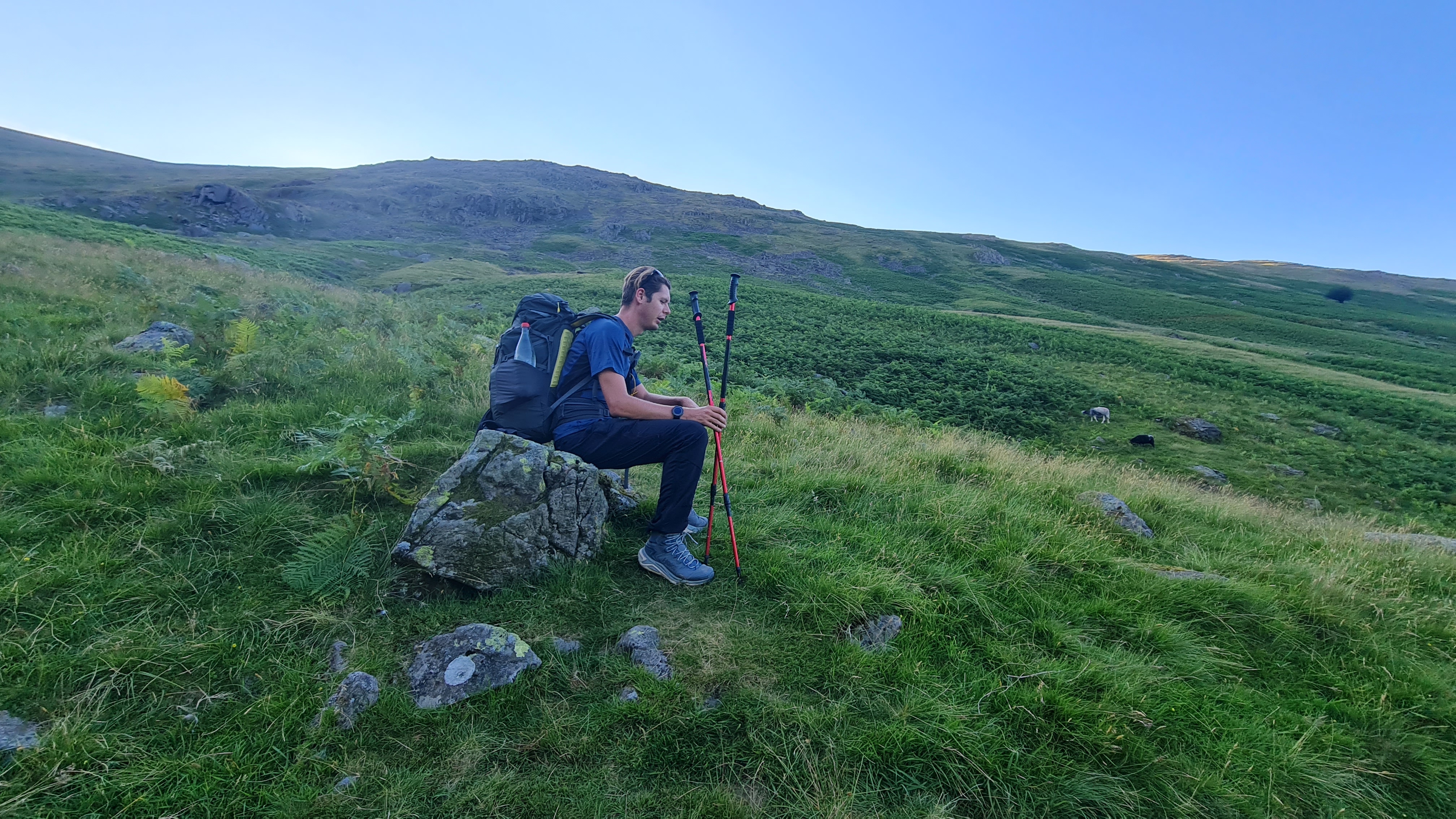
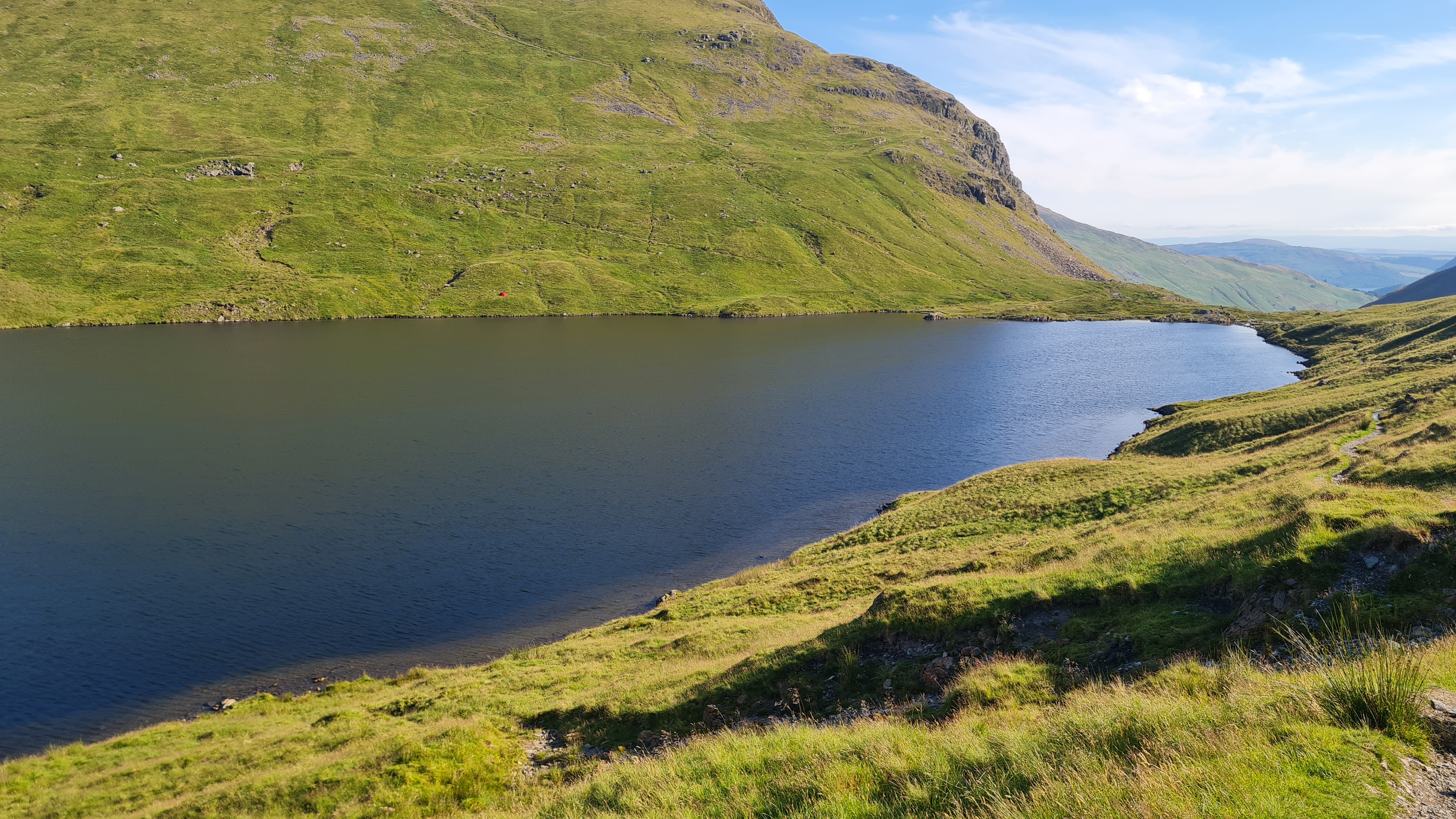
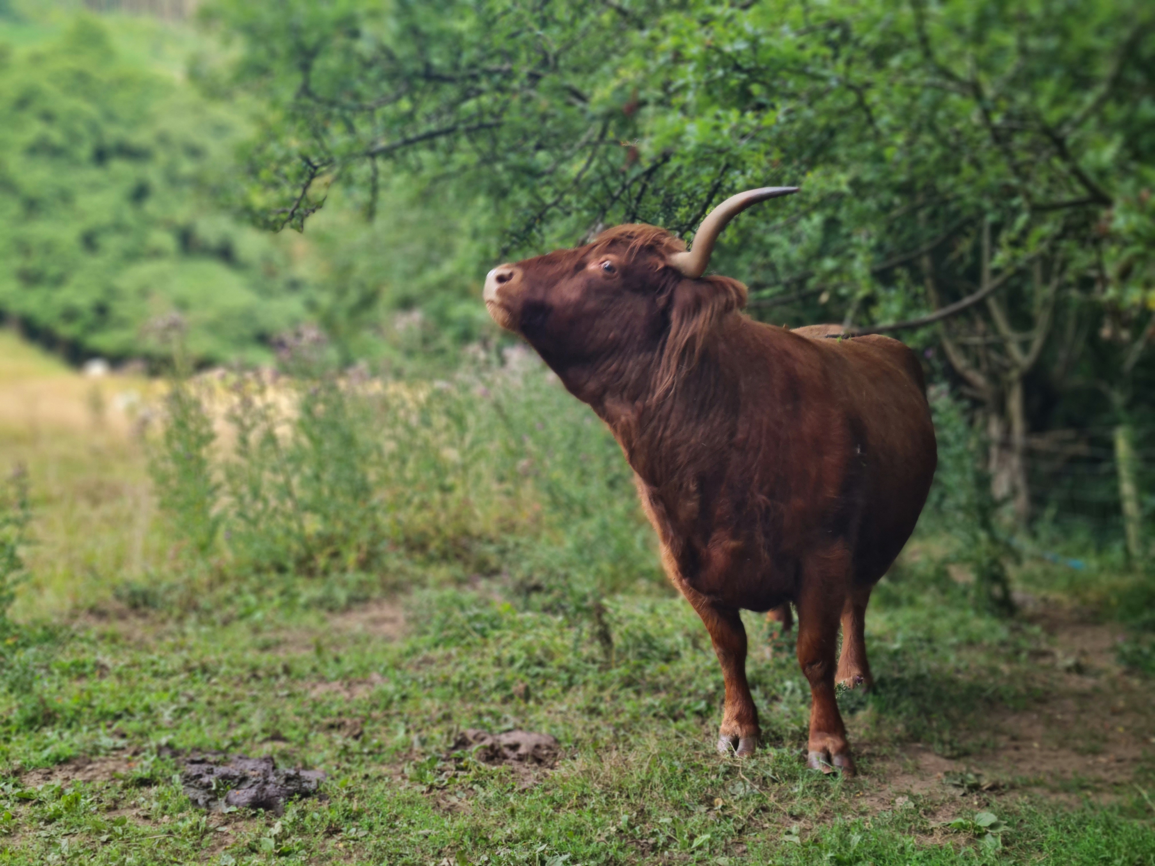
A climb over to Grisdale tarn was the first part of the day, but made for a lovely sit down overlooking the water and a bag of crisps to keep the energy up! Breakfast had been a pasta sachet meal, which was tasty but probably not enough calories for what we were doing. We passed a few other walkers that were either doing the same route as us, or had done it previously, which made for conversation on the way. The rest of the morning was gentle hills and lots of cows and sheep until we arrived at the White Lion of Patterdale.

Rather than go in straight away, we chose to get the tents set up in the nearby campsite at Side Farm, first, which did not take long (but was a bit of a walk away!). Then it was back to the pub for a cracking lasagne for lunch at 12.30, and a snooze under the trees back at the tents. Both of us were feeling the effects of 3 days of heat and distance, not to mention the climbs, so it was lovely to be able to spend the afternoon just resting.
Although we had purposely placed ourselves in a quiet corner way from most people, by 4pm there were a lot of new arrivals, including two minibuses of teenagers from a school who predictably set themselves up adjacent to us. Expecting a late night of noisy teenagers we discussed moving the tents but in the end chose to stay and risk a poor night’s sleep.
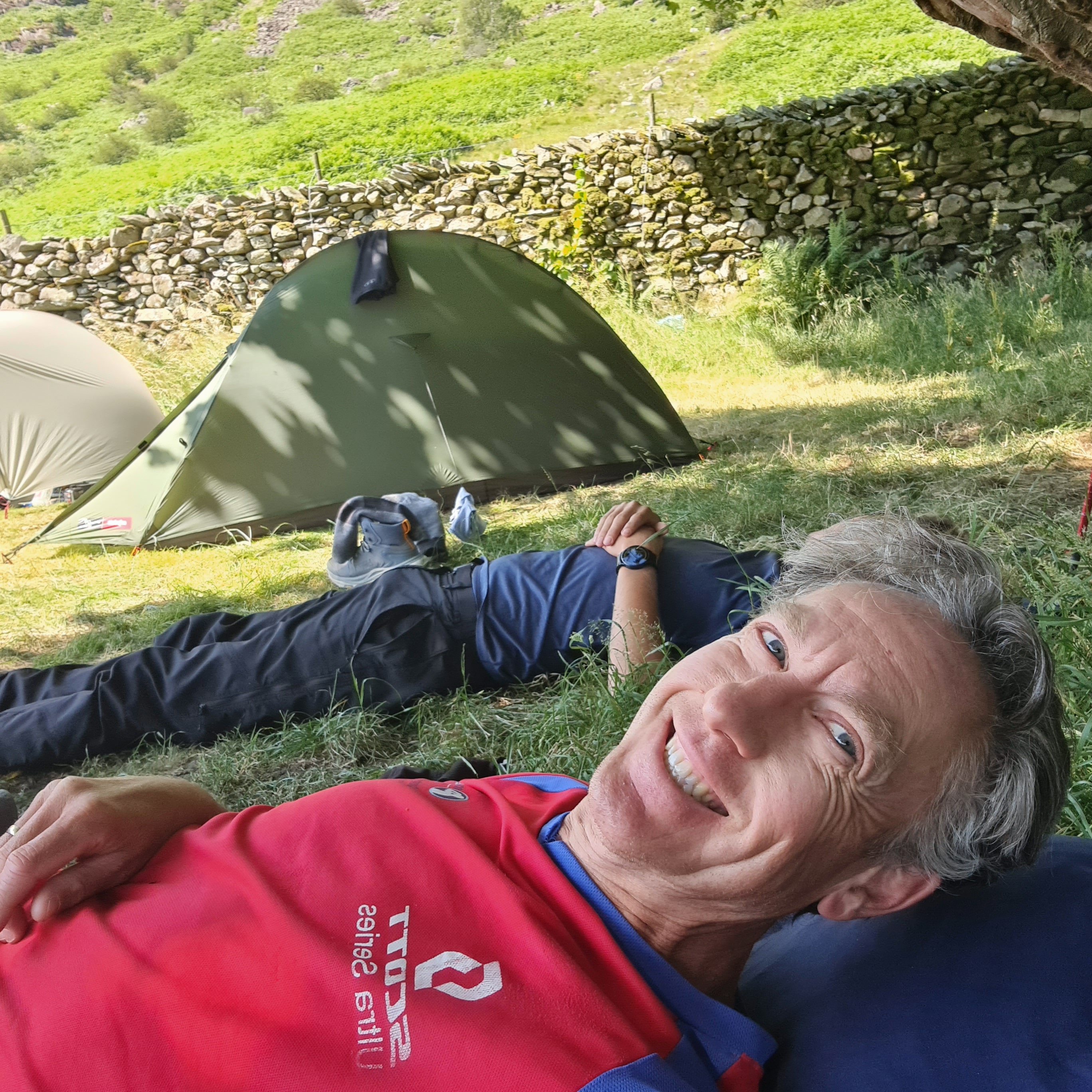
Chatting to an older guy doing the same Coast to Coast walk after a shower, he was struggling (he said) with a pack weghing17.5kg, but as I eyed his full sized towel & comfy post-shower flip flops (compared to my micro-towel and walking boots) I did not have too much sympathy.
Back at the pub for dinner, we both realised how tired we still were and ate quickly in order to get back for a good night’s sleep. We had the biggest climb yet tomorrow, and the weather looked hot again.
Day 4 Patterdale to Shap
The teenagers were noisy until about midnight, but I don’t think that stopped Michael and I from crashing out for the night. We both woke feeling slightly refreshed, and got our own back by cooking up breakfast and packing up early, getting out of the campsite by 6.10am.
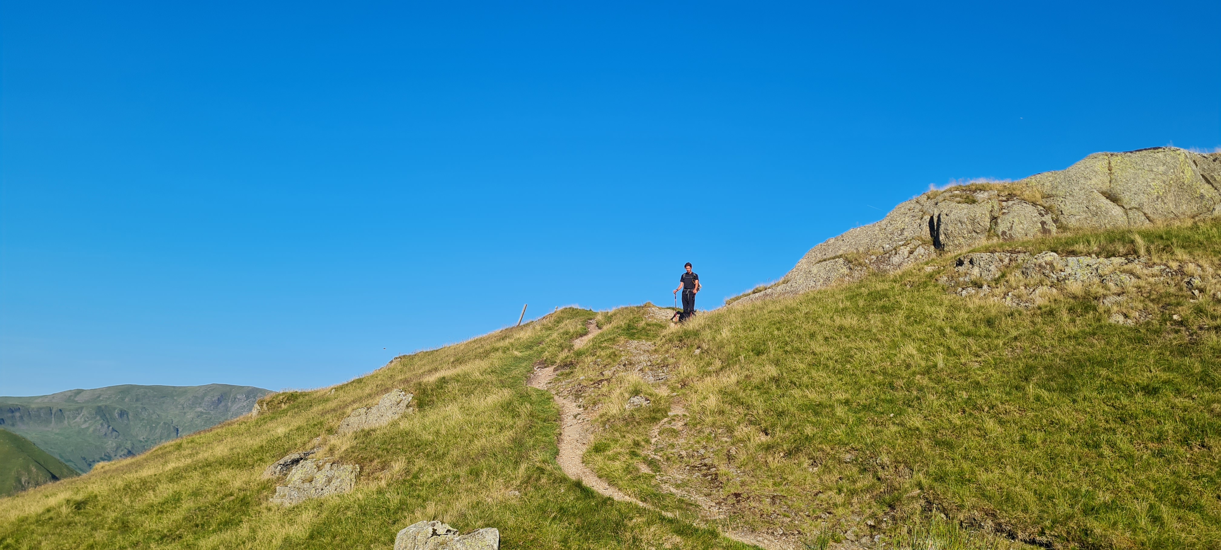
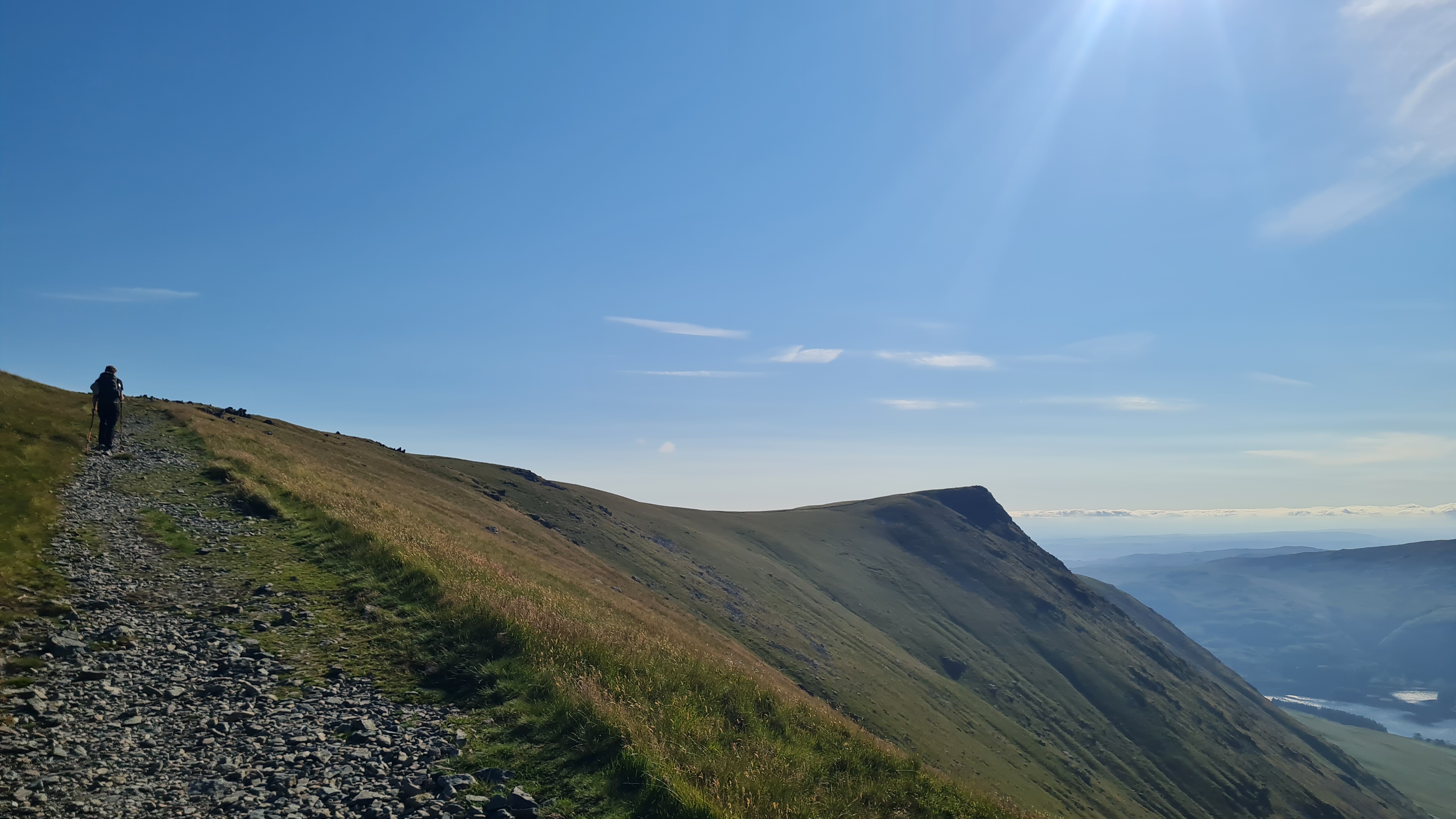
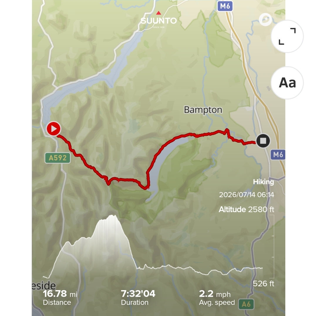
We were faced with a long climb up Kidsy Pike, the highest point on our route, but first we skirted the edge of Angle Tarn, a gorgeous small body of water that had a few wild campers round it. After that was a long slow climb, but thankfully not too steep in most places. The top of Kidsy Pike was spectacular; easily the best views so far and we could see the long body of Haweswater which was where we headed after a sharp descent off the tops.

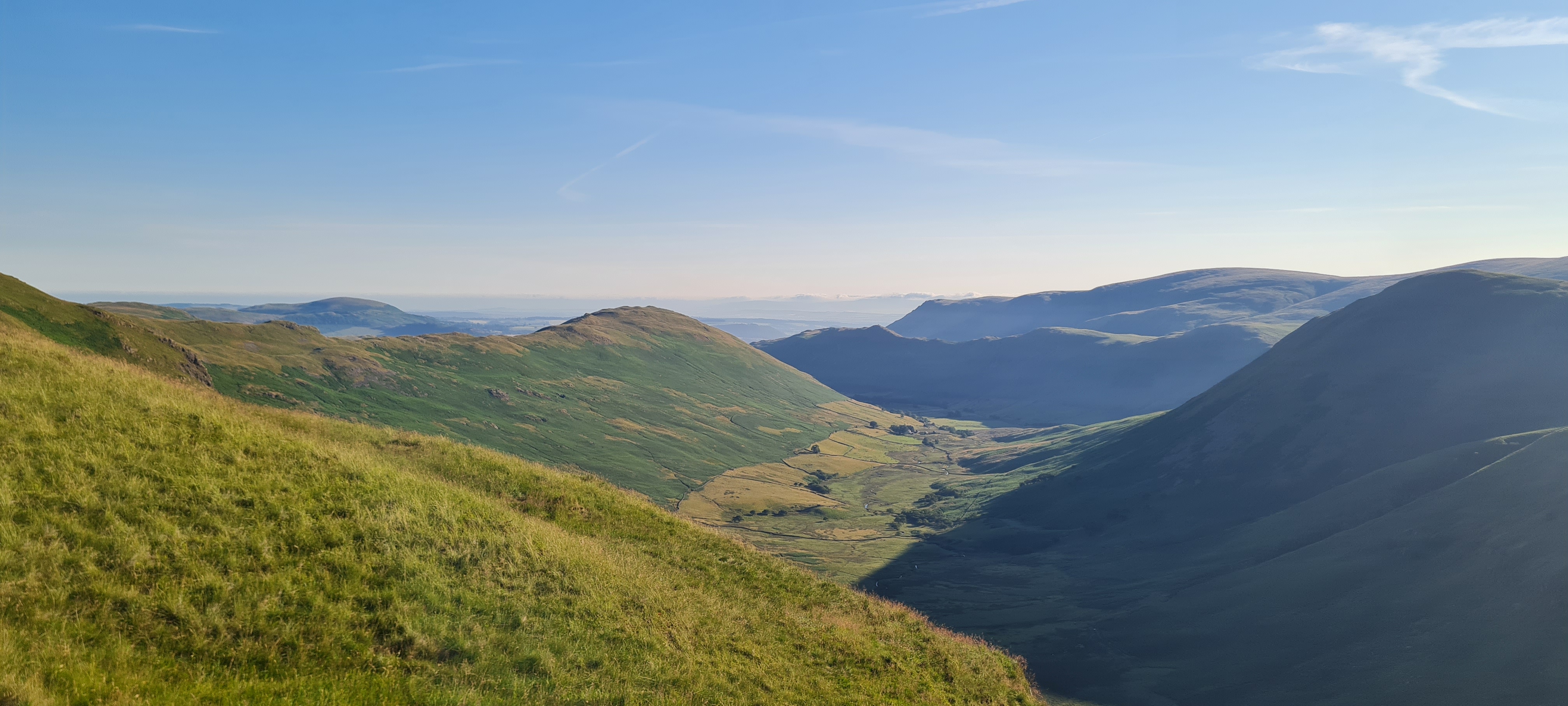

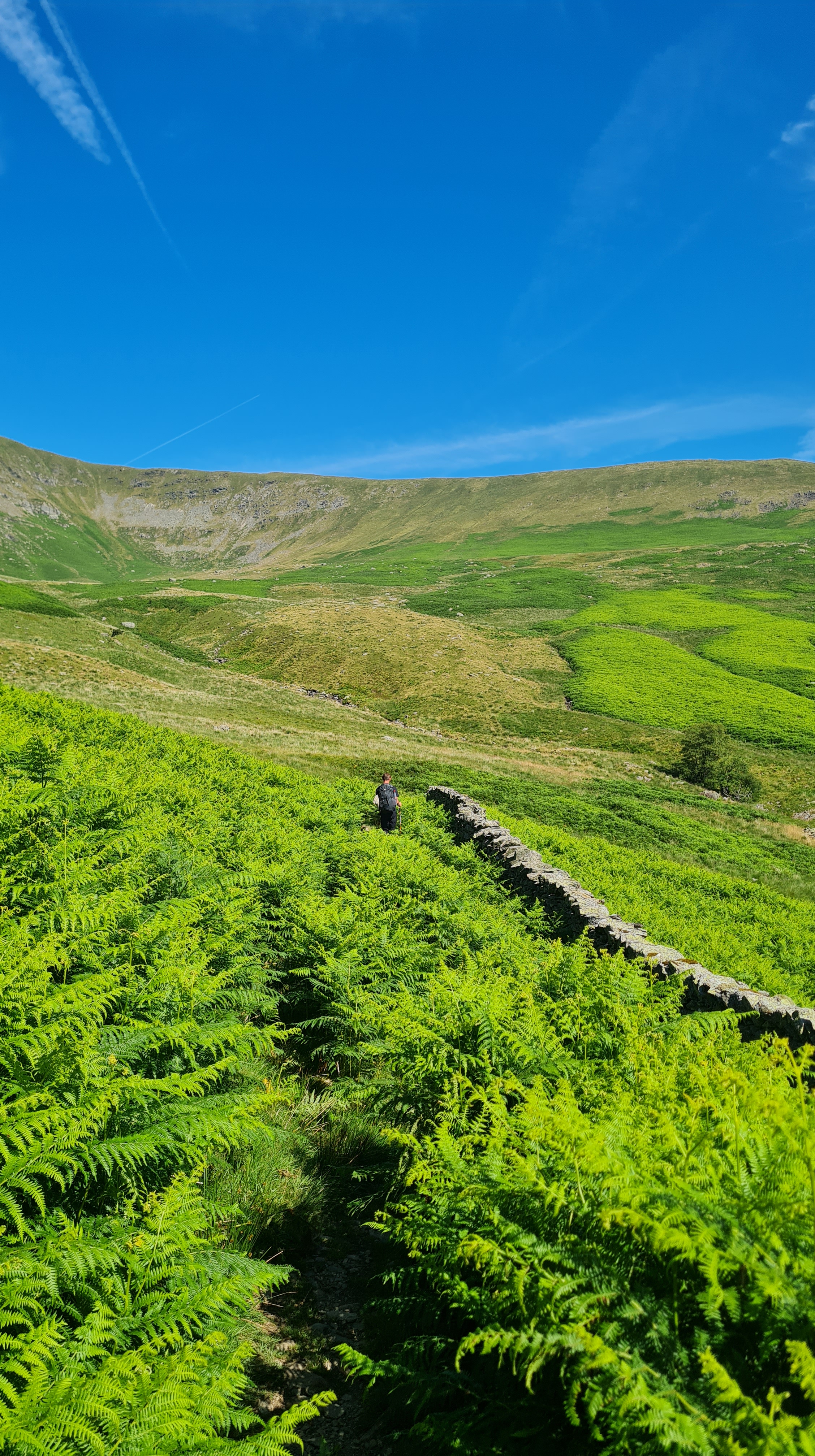
Haweswater was a long uneven slog through endless bracken following the lake from one end to the other, which was fairly dispiriting after the heights and views we had seen previously. Shap was our next destination and would signal the end of the Lakes District (and the endless climbs).
Haweswater eventually ended, and the route followed some fairly plain paths until the small village of Shap came into view. Although we had hiked a respectable 16 miles it was still lunchtime, so we were looking forward to lunch, which we had in a small cafe after finding every other pub and cafe (& chippy) closed for lunch. It was some sort of pie and was exactly what we needed – no need for this fancy posh food, we just wanted plain food (but big portions!).
We also saw Ed again, who was lamenting the lack of available food to buy and walk with (like the chippy). He carried on after the village, carrying what felt like the entire Coop stock of pasties.
After that it was off to the campsite, this time in the garden of New Ing Lodge, a B&B on the route, and an afternoon sleep in the sunshine before heading out to the pub for dinner. We stocked up at the Coop ready for a couple of big days to come.
Day 5 Shap to Kirkby Stephen
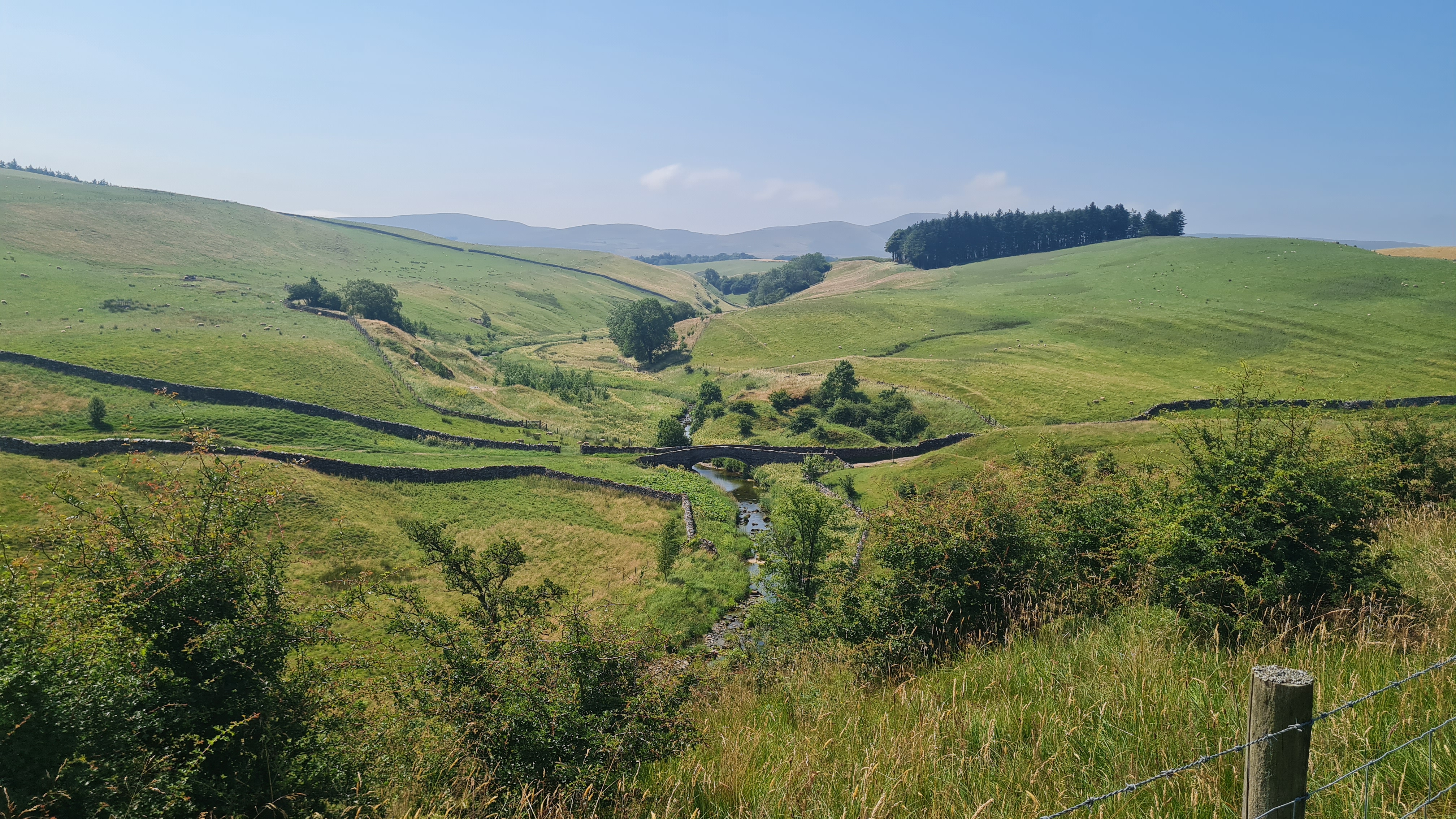
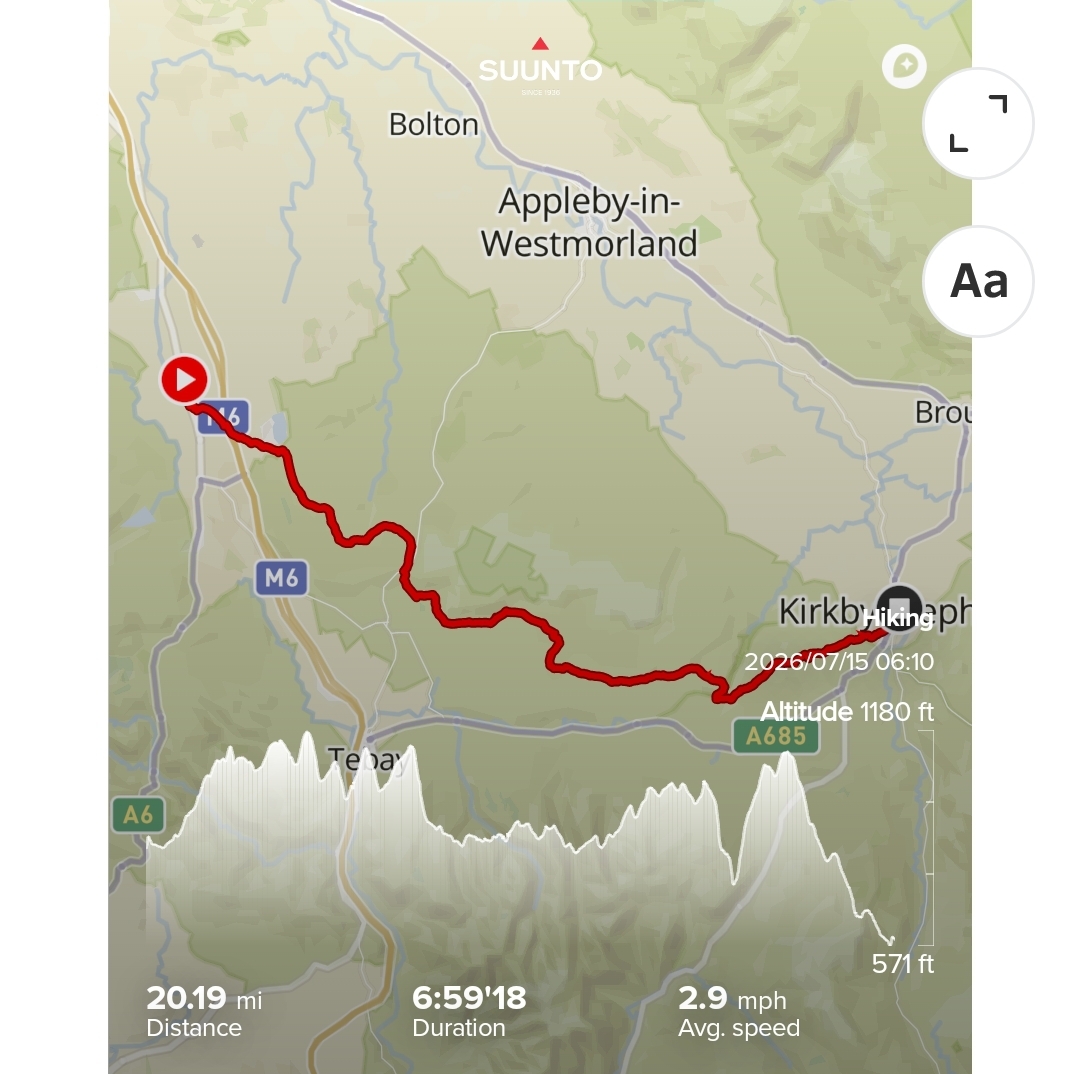
After yesterday’s final day in the lakes, todays route was a long flat walk through farmland and the sides of fields. We left camp at 6 a.m. and headed over the (apparently famous) M6 footbridge before heading through the most boring landscape ever created. A farmhouse every few miles was the only excitement to be had.
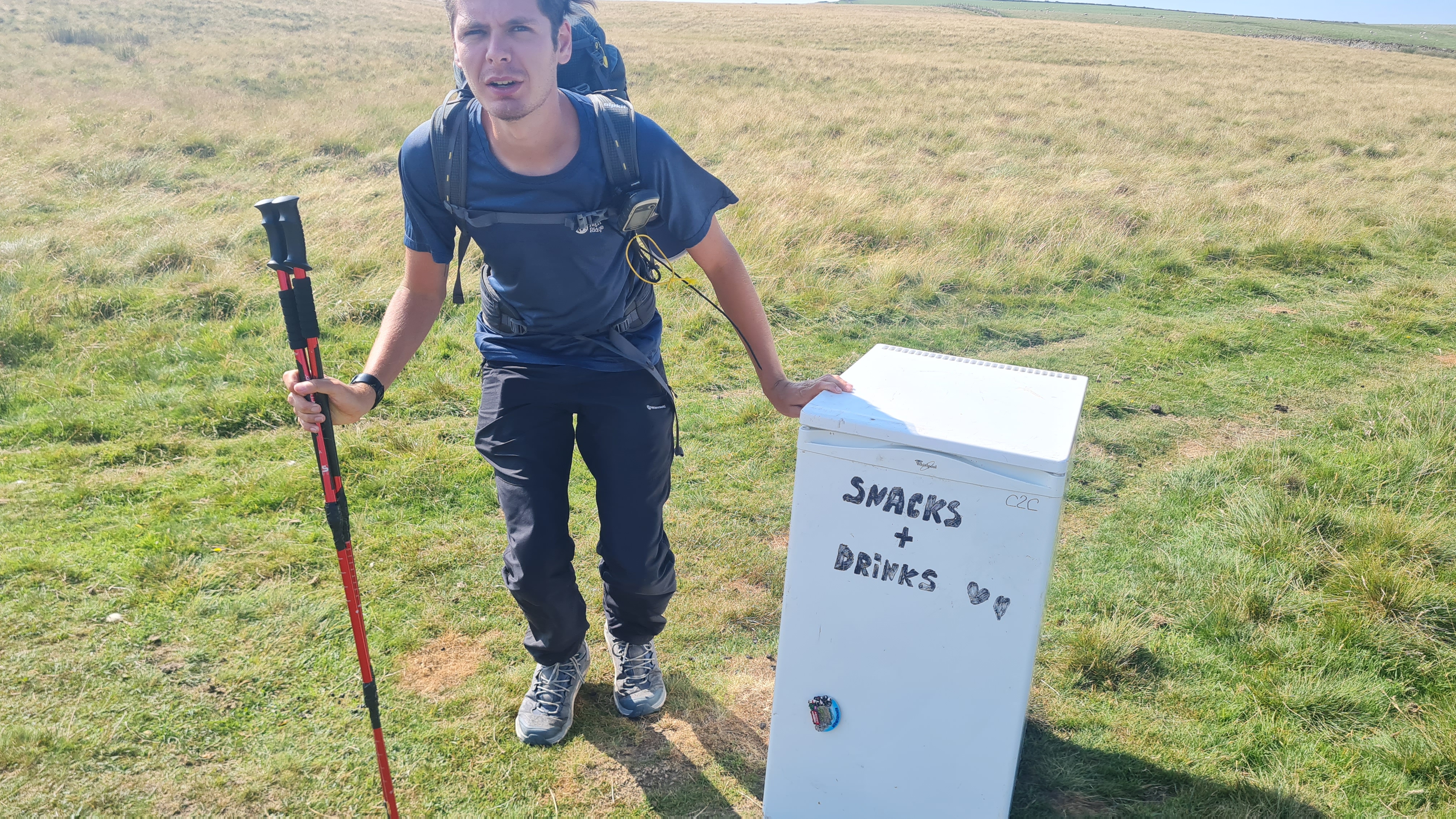
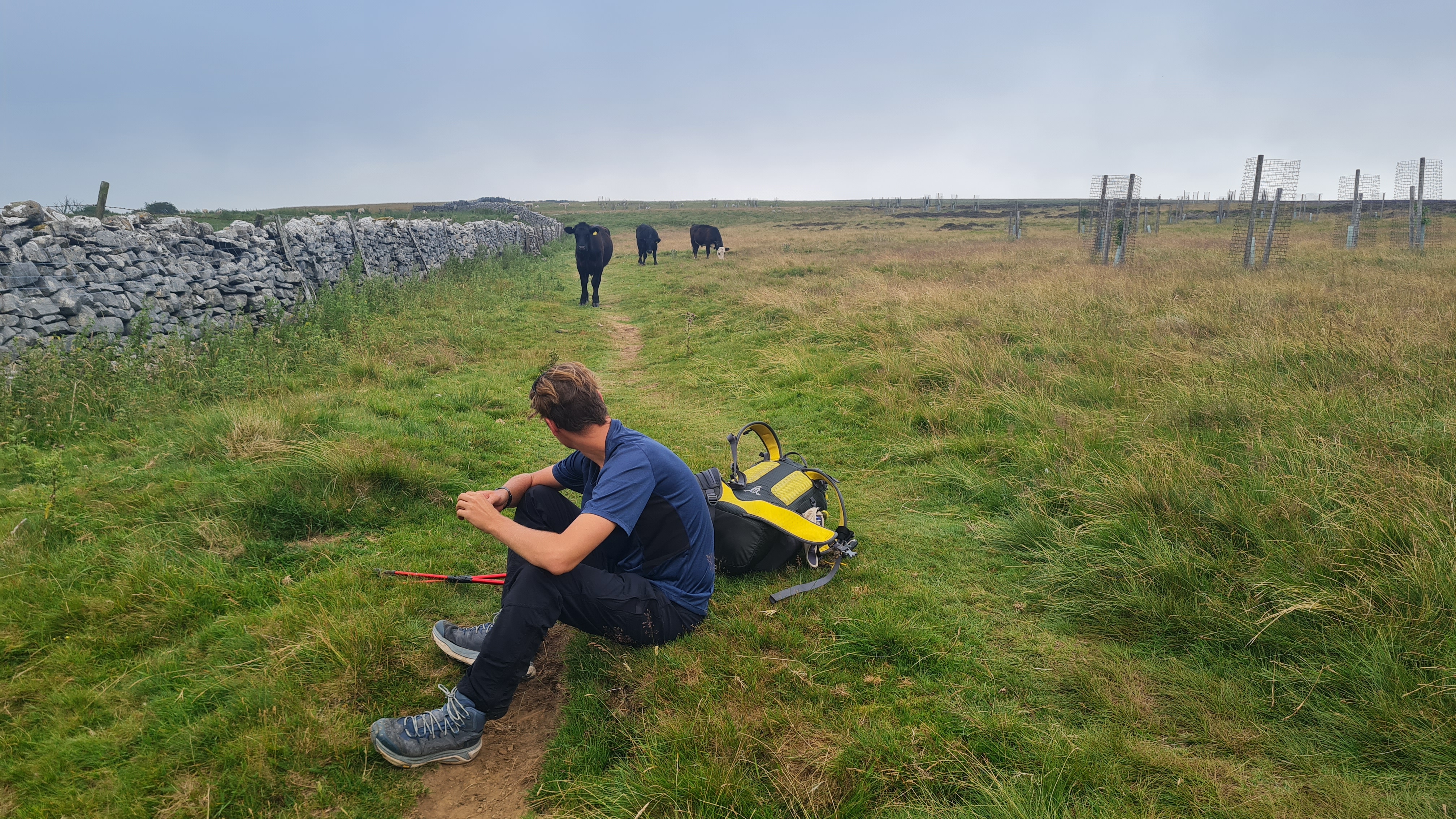

Although it was a 20 miles day, we arrived in Kirkby Stephen by 1.30pm and went for a quiet lasagne in the first pub we saw. As this was the point we had parked the car and stayed before our first day we took the opportunity to check the car was still in one piece (it was) and jettison a few things we had not yet used – gloves for the cold mornings that did not materialise, and gaiters for the bogs that the hot weather had dried up.
We stayed in the Pennine View campsite that was well set for walkers but was absolutely rammed with caravans and campervans. As the afternoon went on quite a few other walkers arrived, and by the evening there were another 6 tents on the fairly snug patch of grass.
There was a small kitchen with a kettle (proper luxury!) and even a hob. We set up tents and went to the local spar for food for the night. England were playing again (versus Argentina) so we did not fancy eating in a pub that evening. A load of pasta with a jar of sauce slap-up meal hopefully gave us the energy we would need for another big day tomorrow.
The campsite had a large bar area attached, which was heaving in anticipation of the football and England getting revenge for the ’86 ‘hand of god’ incident. We had an early night at about 8p.m., hoping that we wouldn’t get woken up too much by the victorious chanting as everyone returned to their caravans.
We both got decent nights sleep, surprisingly. With the slight exception of an incredible snorer in an adjacent tent, that was so bad I actually recorded it on my phone to remind me just how bad it was.
Day 6 Kirkby Stephen to Keld to Reeth
I was up at 4.30am boiling the kettle with enthusiasm to make my first cup of coffee. Whilst our camping kit was fine for cooking & boiling water, there was a certain highpoint for me that day of just being able to flick a switch to boil some water. It’s bizarre how your expectations change with a change in circumstances.
We both had beans for breakfast instead of the usual noodles (courtesy of the Spar and the lovely electric hob) and we were on our way before 6, in order to be waiting outside the closest convenience shop at 6 when it opened and to load up on provisions for what was looking to be a long day. There was a slight delay when the shop worker didn’t unlock until 6.10a.m. but we took the opportunity to find a huge bar of chocolate hidden outside the store and pack it away for later, and have a chat with the bloke delivering newspapers.
The morning was going to be a long but easy climb up to a high ridge and 9 stone cairns called Nine Standards Rigg. We had seen the shapes on a ridge the previous day, in the distance, and it did not look too difficult. Sure enough, we were up there quickly, finding a group of 3 that had camped there the previous night, and some great views. Sharing the chocolate with the campers, we took a few pictures and headed on.
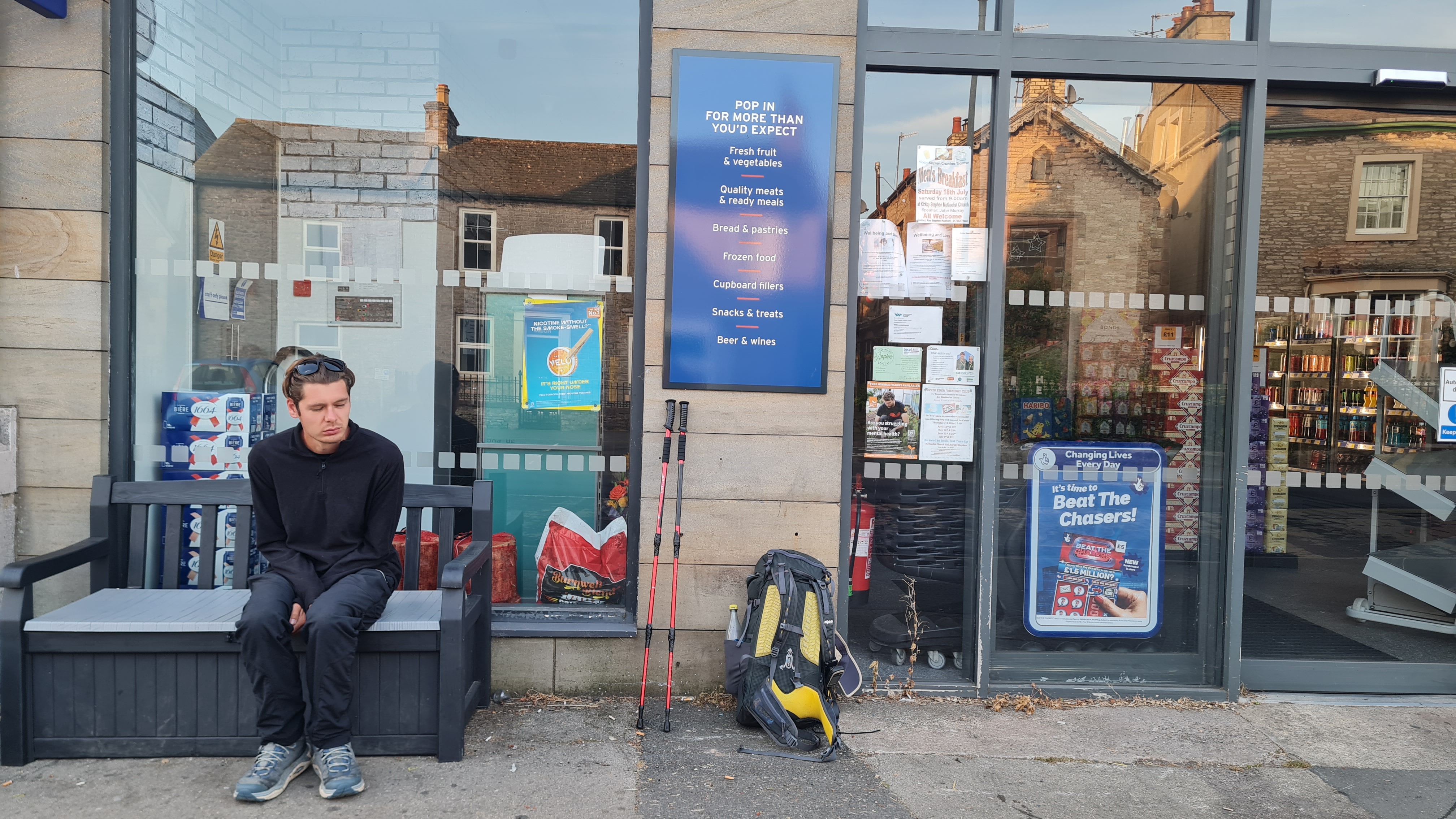
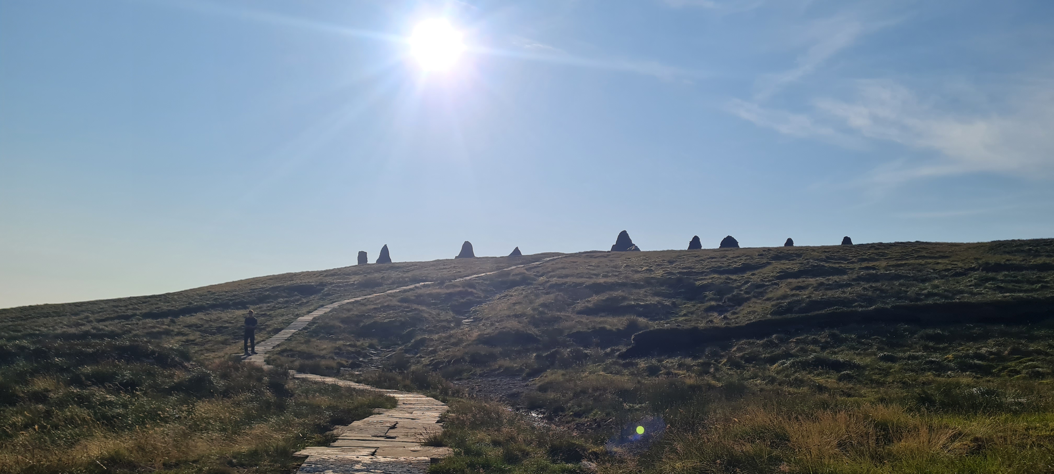
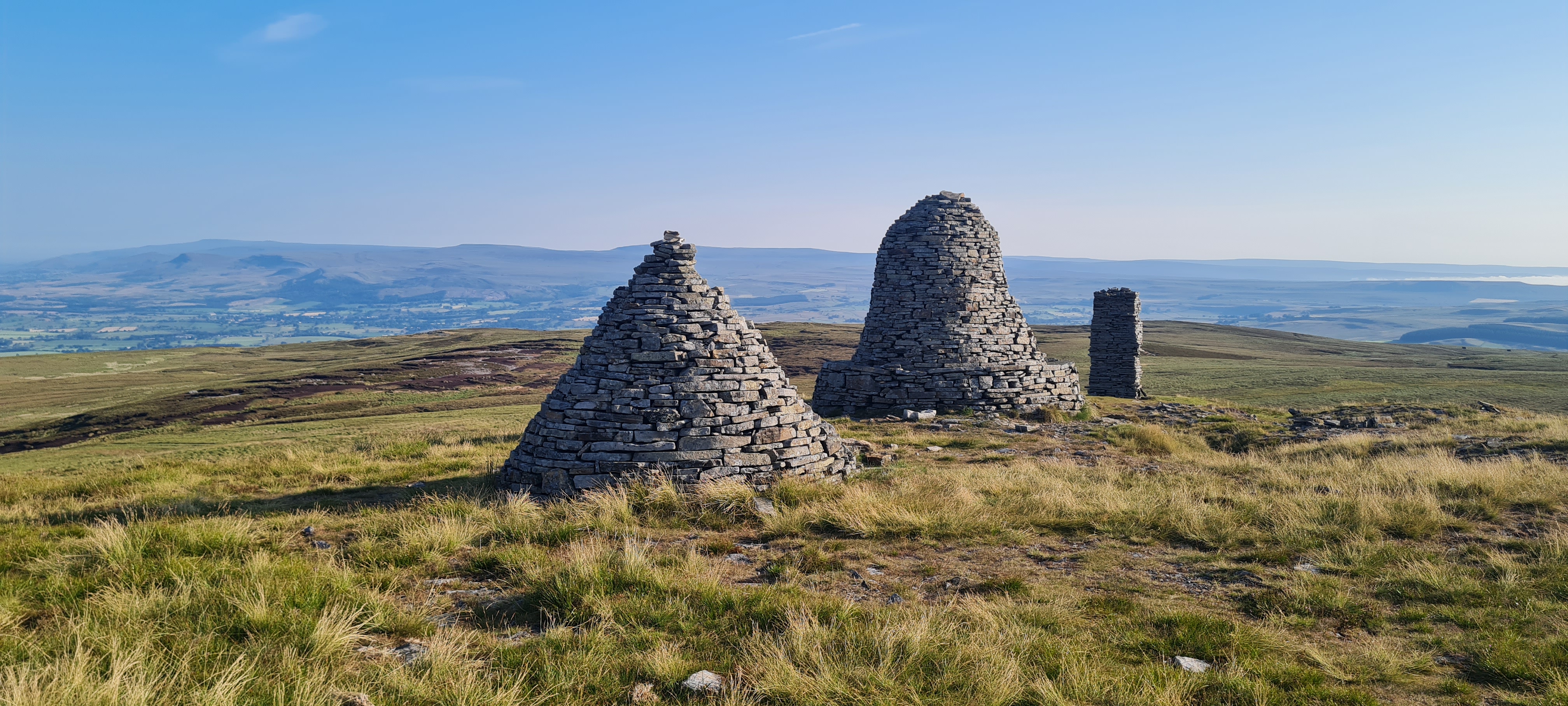
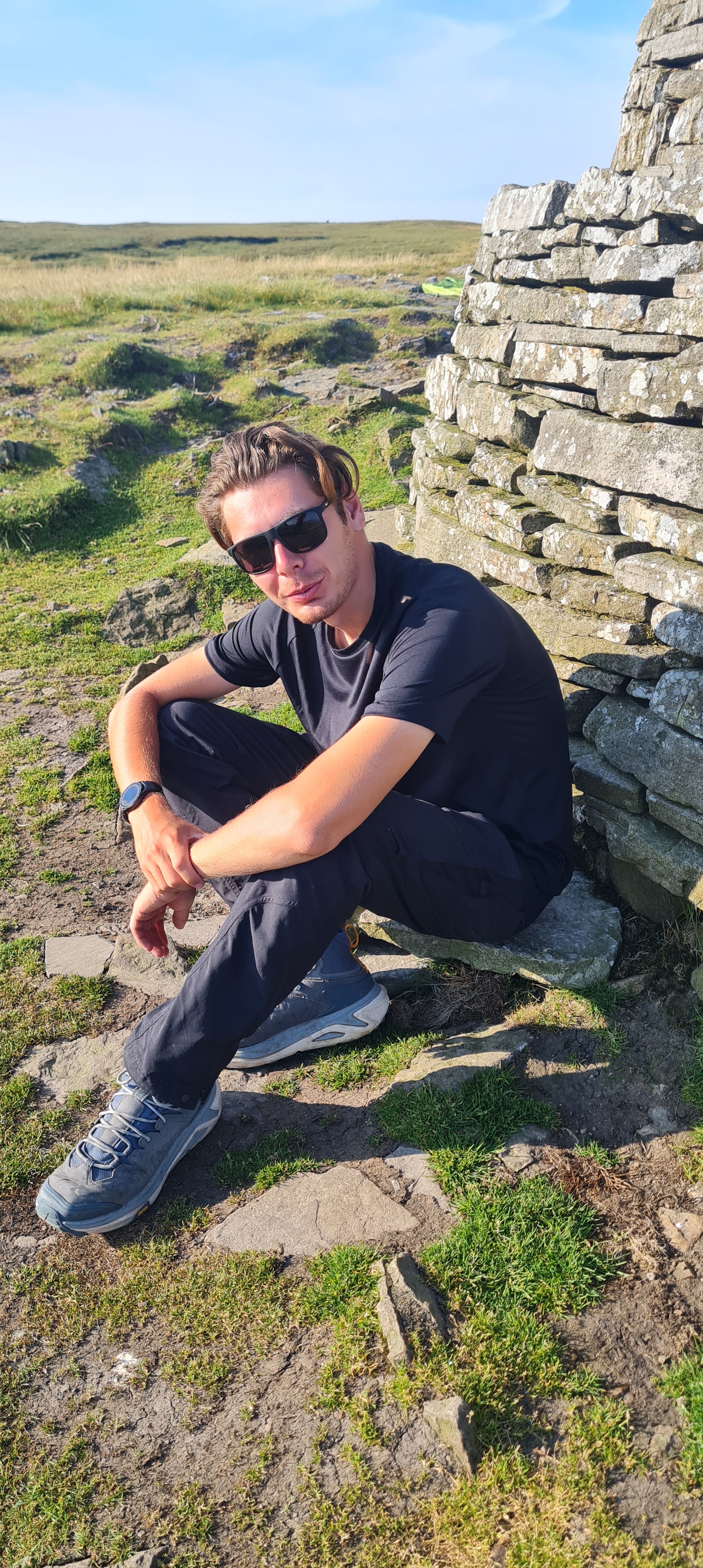

The next part of the route is famously boggy, with 3 routes available depending what time of year it was. Luckily, earlier in the year they had paved the worst sections with flagstones similar to the Pennine Way, so the going was fast over these. We passed Ravenseat, a well known farm that does food in the middle of nowhere, but as it was only 9.30am we sped past after a short sit down with a Jack Russell for company.
By 11a.m. we were in Keld, eating tuna panini’s at a cafe, having covered 12 miles in the morning already. We discussed keeping going to Reeth (another 12 miles), as it felt too early to stop for the day and this would also take the mileage out of the following day. Deciding this was a great idea, we set off.
6 miles later we were in Gunnerside at 2p.m in roasting sunshine and questioning our choices. 2 cokes in the pub cost a whopping £10.40 (an all time record, unbroken to this day) and after sitting in the shade for 20 minutes we headed off again. We became very skilled at following the tree line in the shade as much as possible. There were lots of Duke of Edinburgh kids heading in the opposite direction, who looked hot and bothered, including one bunch of girls that had sat for a rest in the full sunshine and were slowly baking themselves.
We got to Reeth about 4.30pm, after 11 hours of hiking and 26 miles covered. We weren’t exhausted, but were tired and sweaty (and I suspect a bit irritable). I’d frustratingly broken one of my walking poles towards the end of the day, so took the opportunity to order another set to be delivered to where we were staying the following night.
Another decent campsite gave us a slightly bigger patch of grass to camp on, and we quickly set up tents and headed off for a shower. Rather strangely, the showers were 20p for 3 minutes (the only place that charged for showers) but happily I can report that both Michael and I can have a very satisfying shower in 3 minutes each.
There were a few walkers from the previous day campsite (including the snorer! but further away this time thankfully), and Ed who we hadn’t seen since Shap. He’d been making good progress while wild camping everywhere, but had decided on a campsite today to have a hot shower. This was the last time we would cross paths with him, as he was speeding up towards the finish.
Heading up to the pub for dinner was a chore as it was at the top of the town, but the food was good and we ate quickly before the ‘open mike singing’ evening started and everything got a bit noisy.
Happily the following day we had a short day to Richmond, where we had an apartment booked for a good night’s sleep and a washing machine for smelly socks and t-shirts. This was the ‘treat’ that had spurred us through the last few days.
Day 7 Reeth to Richmond
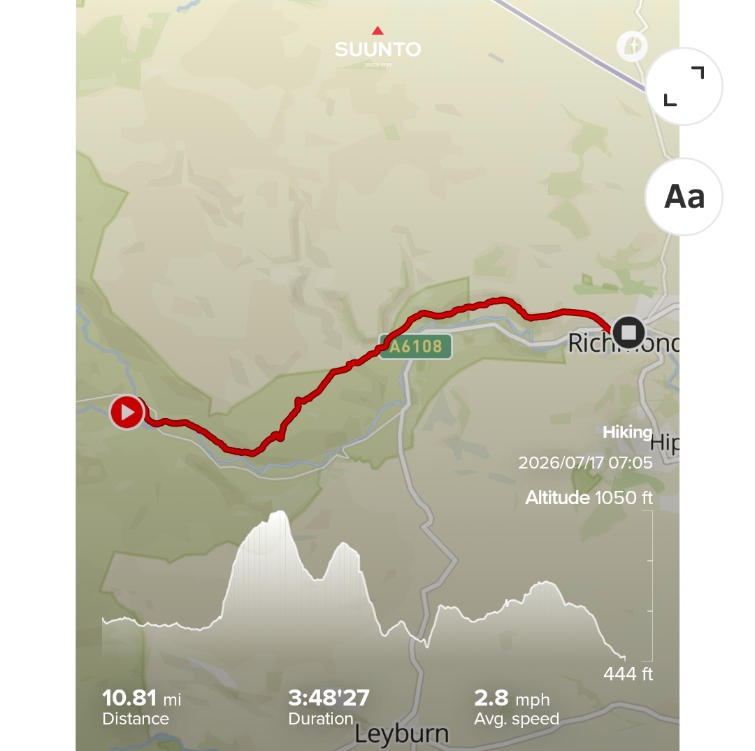
As today was a short day, we had a lie in and didn’t leave camp until 7am. It was only 10 miles to Richmond, and as this was the biggest town we would go through it was a great place to have a rest and a reset. It also had a Wetherspoons, which was a added bonus.
The 10 miles was fairly unexciting, just lots of farmland again.
However, ‘spoons at 11 a.m. was very exciting, and we found a corner to collapse into and had second breakfast, then lunch, with endless cups of tea for me and lemonade for Michael.


The apartment was ready early, so we hit the nearby Coop for provisions and headed up some painfully hilly streets to get indoors. The poles had been delivered already and were waiting outside the door as we arrived which was a stroke of luck.
It took about 10 minutes to find our way around and then both of us went off for a sleep. I was on a normal bed, so slept quite well for an hour but Michael was on the sofa bed and was not so comfortable unfortunately.
In the evening we had a huge spaghetti bolognaise, cake, biscuits and anything else we could get our hands on. A shower (using hand-wash, in order to preserve our meagre 50ml body-wash) and a load in the washing machine made the evening perfect.
We were both in bed for 8.30 pm, ready for an early start, but actually neither of us slept that well, perhaps having got used to the hard floor in a tent and being stuffy under a duvet.
Day 8 Richmond to Danby Whiske
The thouhgt of coffee made with a kettle had me up early (again) and I heated up beans ready for Michael waking up. Our washed kit was dry and ready for another few sweaty days; we left about 8 a.m. stopping at Coop briefly to load up with provisions for the day.
It was a very unexciting 15 miles across farmland and fields, but for some reason we overtook quite a few walkers today.
We arrive at the fabulous Church Holme campsite in Danby Whiske at lunchtime, and spent a bit of time enjoying the kitchen, books & small shop they provide. Loaded up with lunch and sweets we retired for an afternoon nap (which was becoming fairly routine by now) and looked forward to dinner.
The only pub at Danby Whiske has something of a captive market, as the walkers like us have nowhere else to go for dinner. So it was not entirely unexpected to be told that we needed to order our food as early as possible (by text if necessary) and be there at 6.30pm as it would all be served at the same time. A very efficient way to run a pub! Our cokes came from big 2 litre bottles rather than a dispenser, and although the pub was adorned with certificates of ‘Pub of the Month’ certificates, they were all about 10 years old.
Predictably, the pub was full of walkers and campers at 6.30p.m., and the food arrived quite promptly. It was quite good and we passed the time chatting with another walker, who was an A-level maths teacher in the real world, but was enjoying herself walking alone.
It turns out that Danby Whiske is the lowest point of the whole route, only 40 metres above sea-level, which may explain why it was the coldest night we had. I woke every couple of hours and put on more clothing to try to warm up. This, coupled with the fact that our previous night had been in a comfy bed, meant we were both bleary eyed when getting up.
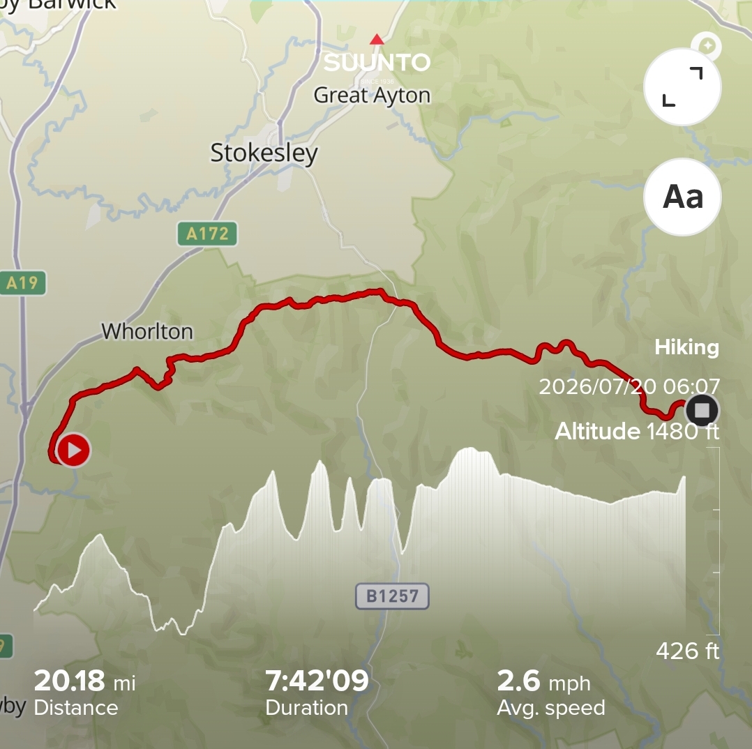
Day 10 Danby Whiske to Osmotherly
I was up early, Michael was 30 minutes later at 5.30am, and we had breakfast in the little kitchen. Both of us were putting tape on our feet to protect some sore patches each morning, but so far we had no blisters or broken skin thankfully. A few of the other walkers joined us, but they seemed much more relaxed in their approach to breakfast whereas Michael and I were keen to get out and on the move as soon as possible.
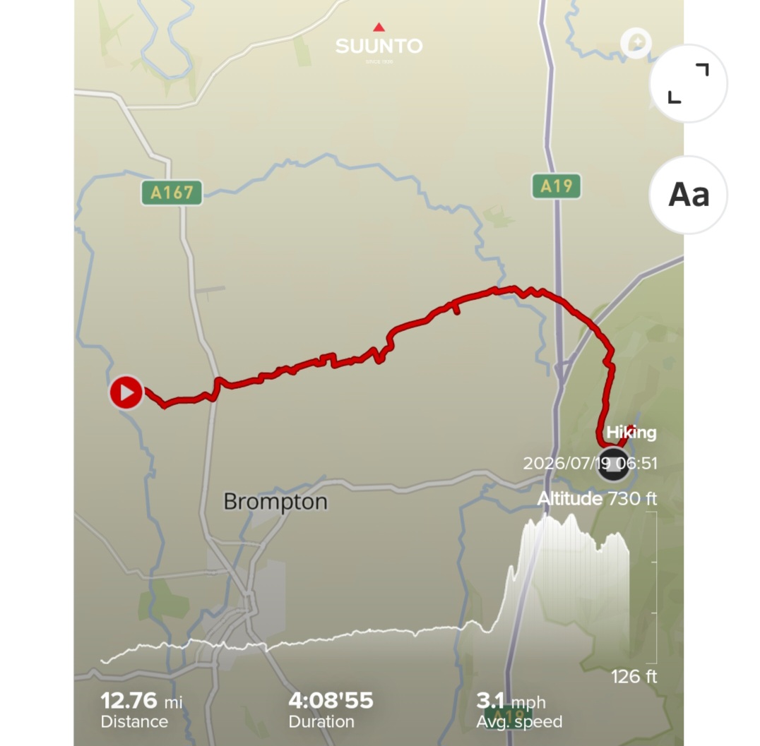
We were on the move at about 6.45 a.m. and a final uninspiring day of farmland covered the next 13 miles. A rather adrenaline-inducing crossing of the A19 dual carriageway (trying to run with a massive rucksack to escape a speeding car is great fun), and then a huge climb at the end brought us to the Cote Ghyll campsite on the outskirts of Osmotherly. We were hoping for a decent convenience store to restock as the following day was long without any chance of shops along the way. We found a cafe that did us a nice cheese toasted sandwich each, and unfortunately the worst village shop in the world…having nothing useful to us except crisps and a bit of flapjack.



We set off back to the campsite, where we found their shop at least had a tin of beans for breakfast for us.
After the now routine afternoon nap, we headed back into Osmotherly for dinner, and had a surprisingly good meal in a busy pub. It had been overcast all day (but still warm!) but the sunshine that appeared at 4pm brought out the village apparently.
We both slept rather better, having got used again to the idea of sleeping in tents and on the hard floor again.
Day 10 Osmotherly to Blakney Ridge


Today was going to be a long 20 mile day, with rolling hills across the North Yorkshire Moors National Park. We had quite a lot of climbing and descending for the morning through expanses of bracken, having left camp at about 6.10am, but it was hot enough during the morning to force us to go slow and stop for breaks quite often. The final climb at 11am was huge (but final) and after a morning of about 12 miles of hills we joined a long disused railway route that thankfully stayed level and well-surfaced for the next 8 miles so we moved as fast as we could to make up time.


The campsite that night (the only campsite for miles) was a well-known pub called the White Lion, who have a huge field for walkers and charge a tiny £3 per night.
We walked in about lunchtime (7.5 hrs walking time apparently, making it about 1.40pm) and it was absolutely packed. So much that I turned to Michael asking him what day of the week it was – it felt like a Saturday or Sunday, whereas it was actually only Monday. We had come into the pub still wearing our packs, and began getting in the way of everyone sitting having their lunch every time we turned round. However, with the customary pint of coke and camping sorted out, we headed outside to the beer garden to perch on the only available bench and watch loads of families enjoy their lunch.
After setting up the tents in the surprisingly windy field, we headed back for a jacket potatoes lunch and our afternoon nap.
The pub had some showers for campers (that were accessed through the dining room, oddly) which we took advantage of before a great dinner. Clearly the food brought people here from miles around, as most people had driven to get here judging from the car park.
Day 11 Blakeny Ridge to Intake Farm, Littlebeck
After a slightly cold night, we were out of the campsite by 6 a.m. and making good progress on good track for the first 10 miles. The abandoned railway track carried on from yesterday and we had done 12 miles by 10am. We went through Glaisdale, only to find nothing useful (no pubs, cafes, shops), but then came to Grosmont who luckily had a great village shop and a steam train! We debated where to stay that night, but decided to push on to Intake Farm (which would be further to go today, but would reduce our mileage tomorrow, our last day). Speaking to Intake Farm to ensure they had space for us, we were told they could not do an evening meal for us so we bought loads of food from the shop…beans for lunch, pasta for dinner, then more beans for breakfast, even a small loaf of bread as a treat!




With this weight packed away, we set off…only to find the most incredible climb outside Grosmont (which gave us the first sight of the sea!). Maybe we were tired, and weighted down with lots of food, but it felt like a vertical 4 miles to the farm. However, once there we were shown a great little garden for a campsite, a clean shower and toilet, and another kettle for me to lust over. We even got a slice of cake on arrival!
After beans for lunch, we slept away the afternoon and slowly quite a few more walkers arrived. We showered, and then cooked our pasta & sauce dinner, while the rest of the walkers went inside for dinner at 7. Although we were a bit jealous initially, they were still inside when we went to sleep at 9, so I’m not sure I would have been able to be that sociable for 2 hours.
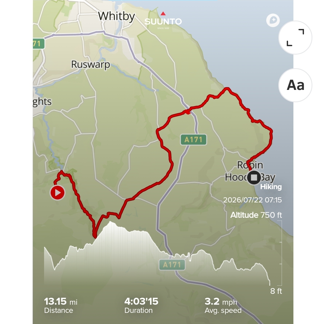
Day 12 – Intake Farm to Robin Hoods Bay
It was a warmer night thankfully, but I was still up at 5am to use the kettle! We’d agreed that Michael could sleep in for a while, as we only had 13 miles to go and if we weren’t careful we would be at at the finish before the pubs were open.

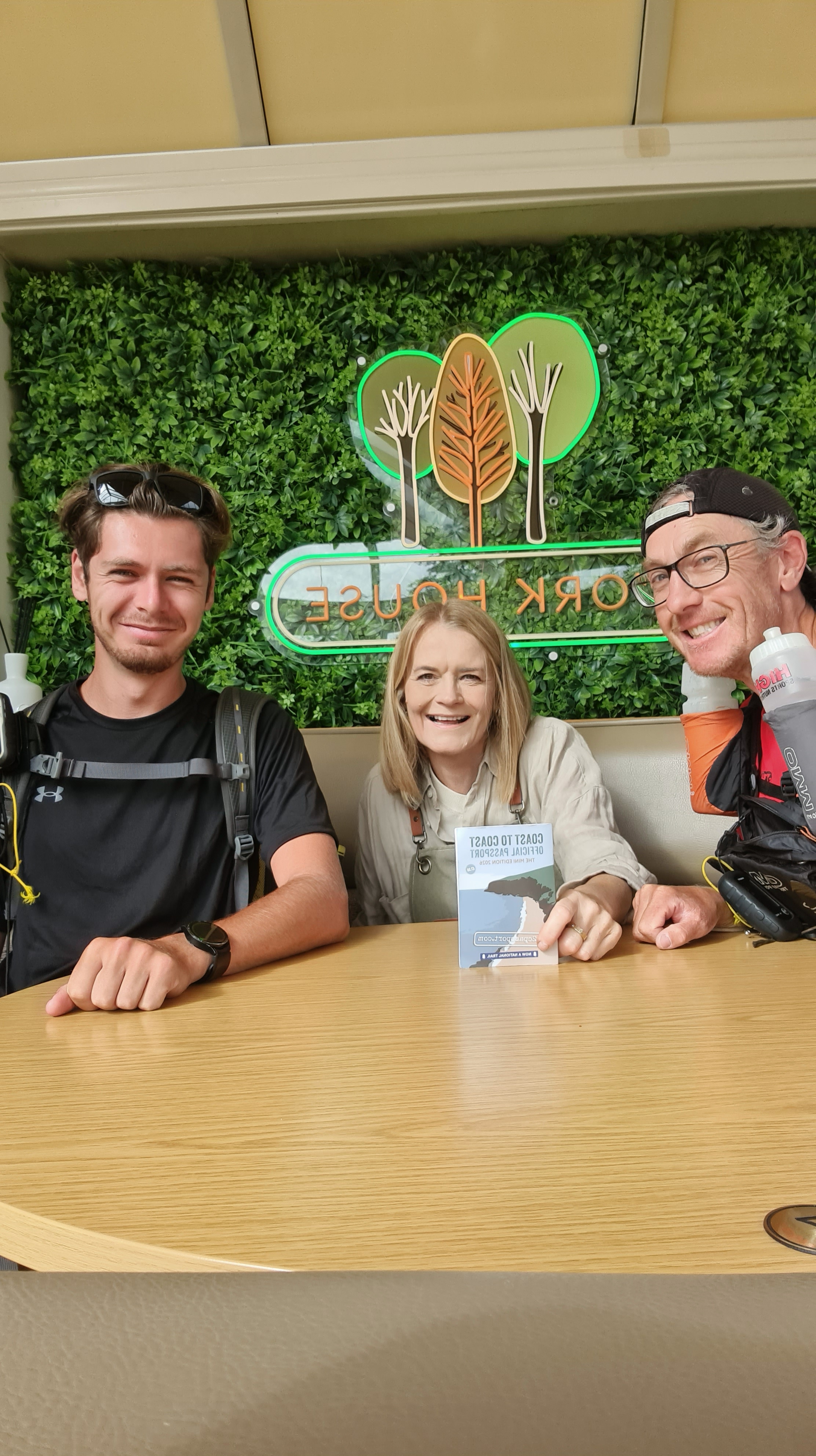
We had more beans for breakfast, and set off at 7am, mainly through forest initially, passing Falling Foss waterfall, then across open scrub in Sneaton Country Park. We had a sandwich at a campsite at High Hawkser and were cajoled into having our picture taken with the server and our Coast to Coast passport (that you can get stamped in various places across the route).



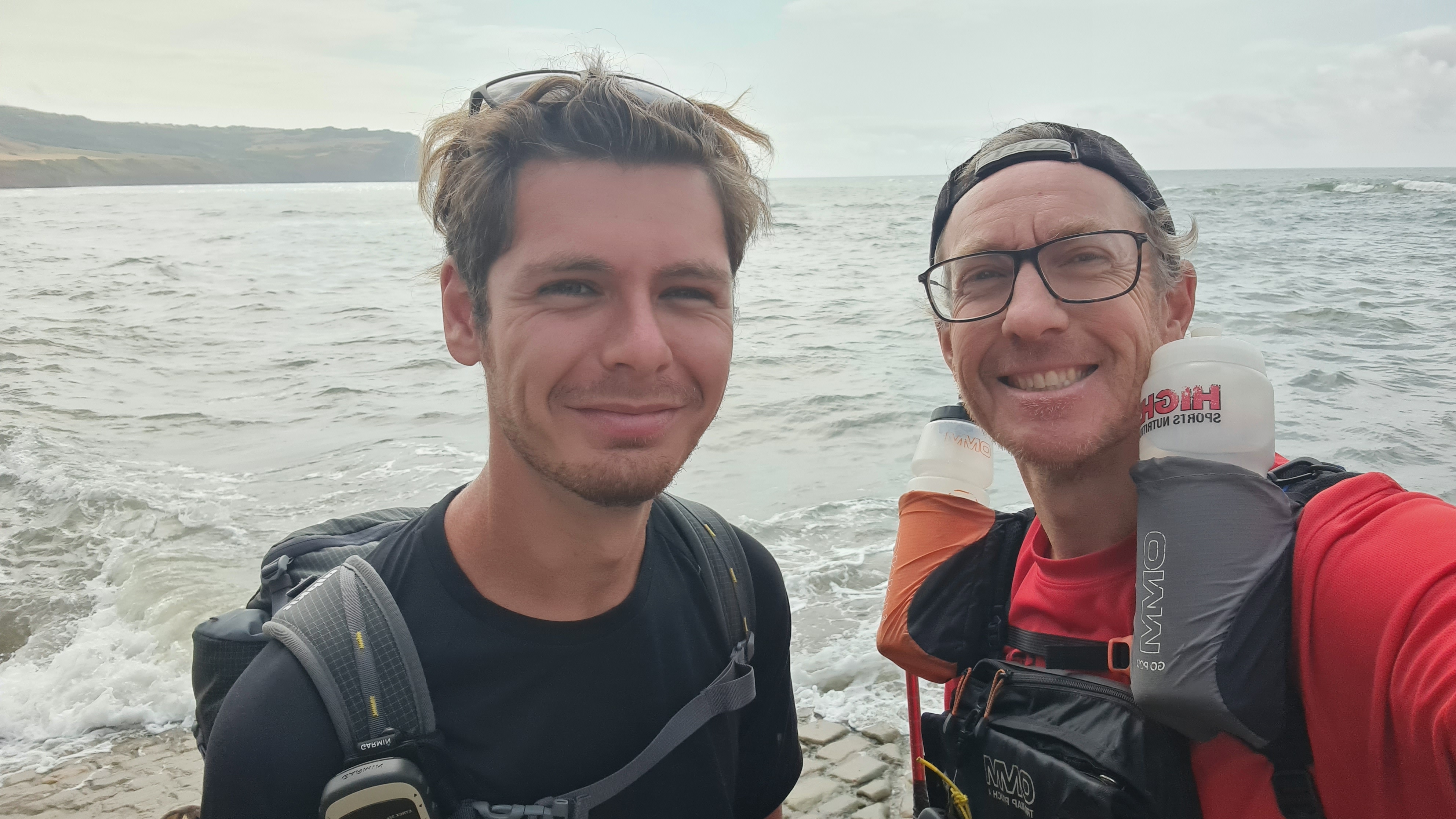
The final 3 miles along coast line seemed to last ages, but finally we came to an incredibly steep street heading down to the sea edge, which was our destination. There were lots of tourists milling around, and we rather stood out in our smelly clothes and huge packs. The tide was in, so we had to dip boots in the sea whilst making sure we didn’t set soaked…but we did it.
Then it was tea and coke to celebrate in the closest pub (overlooking the ocean) and the long slow relaxation that comes with finishing a long event.
We headed up the incredibly steep hill again to check where the minibus would be picking us up at 4pm, and then headed to the closest pub for food and the first beer of the walk, which tasted amazing.
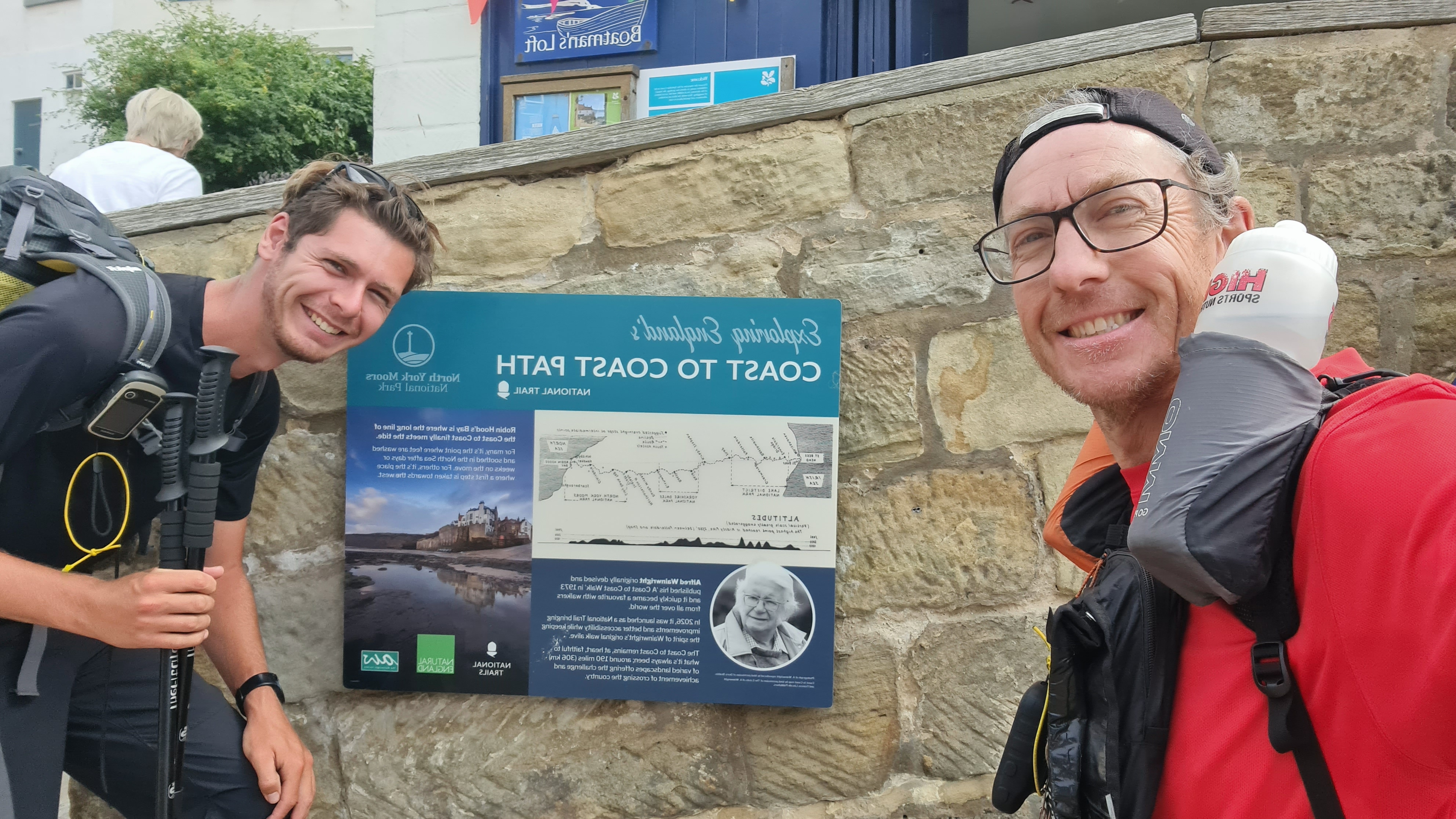


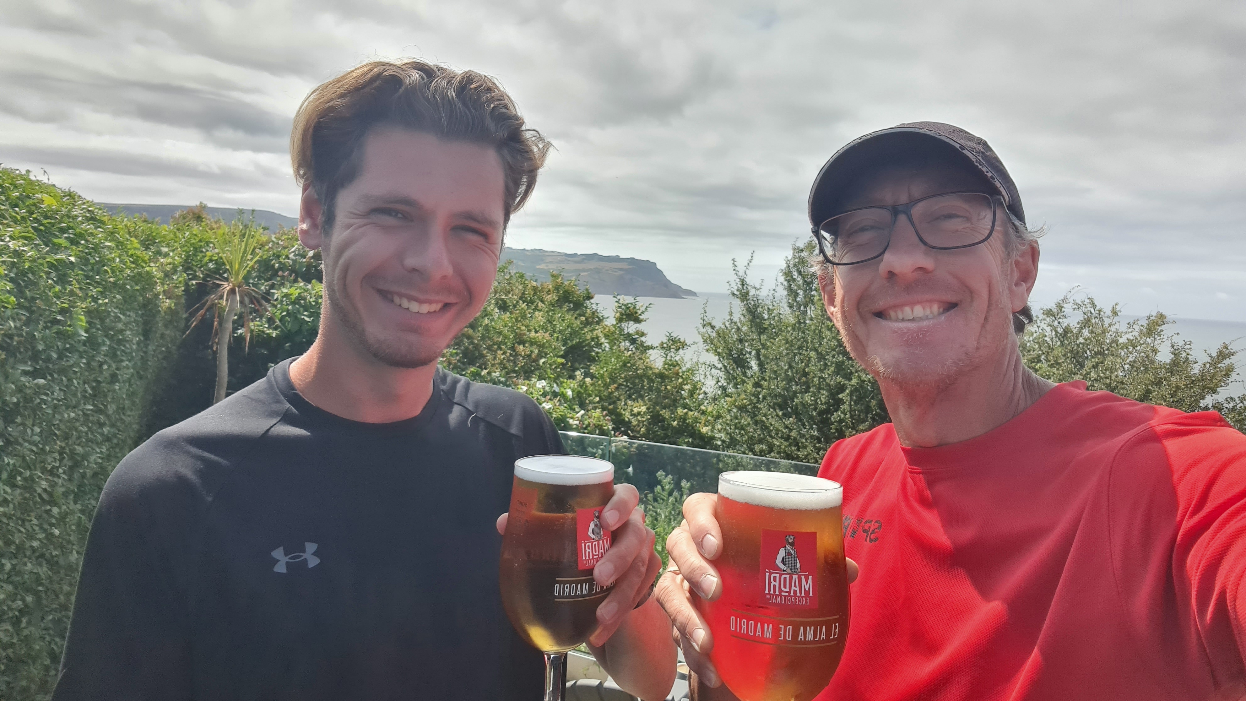
And that was it! Great route & scenery for most of it. Great company from Michael, who stayed cheerful & strong even during 6am starts most days. And great weather – who ever heard of blue skies in the lake district for days on end?
Final pics that didn’t make the original…





 Ultra-average.com